NEGOTIATED RITUAL – WATER AND FLUCTUATION
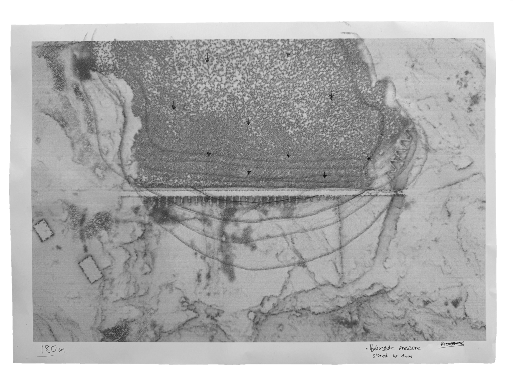
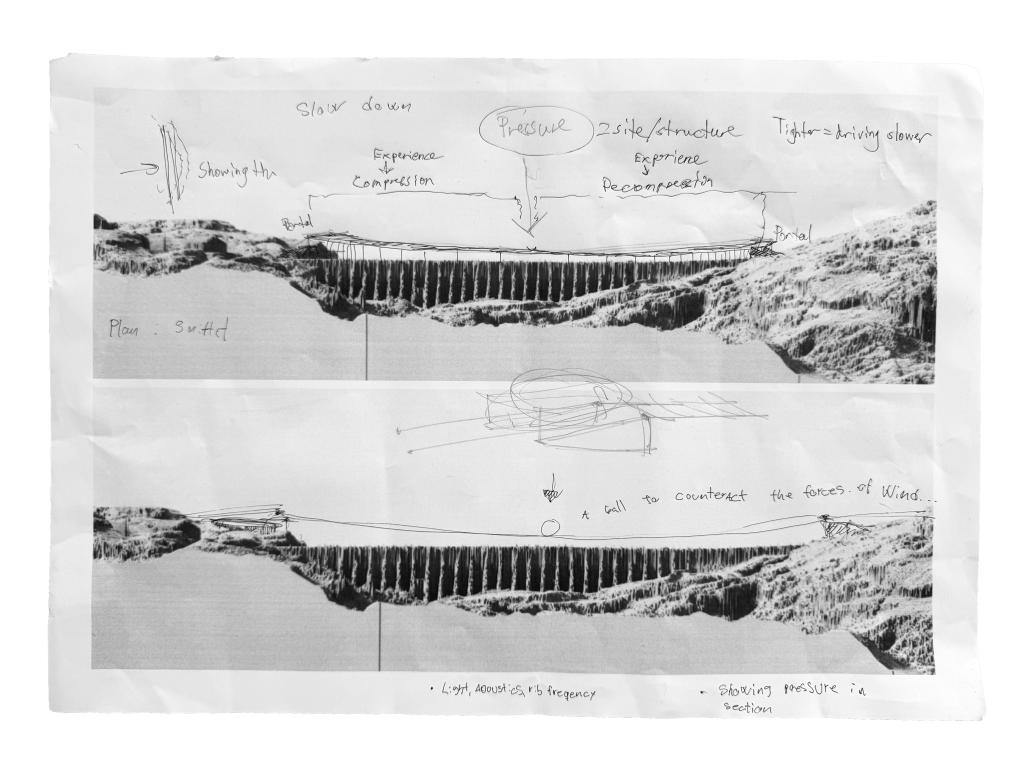
This project investigates a concrete buttress dam as an architectural system in which hydrology and pressure shape inhabitable space. A chapel embedded within the structure challenges conventional religious architecture by placing ritual in direct negotiation with water, fluctuation, and landscape
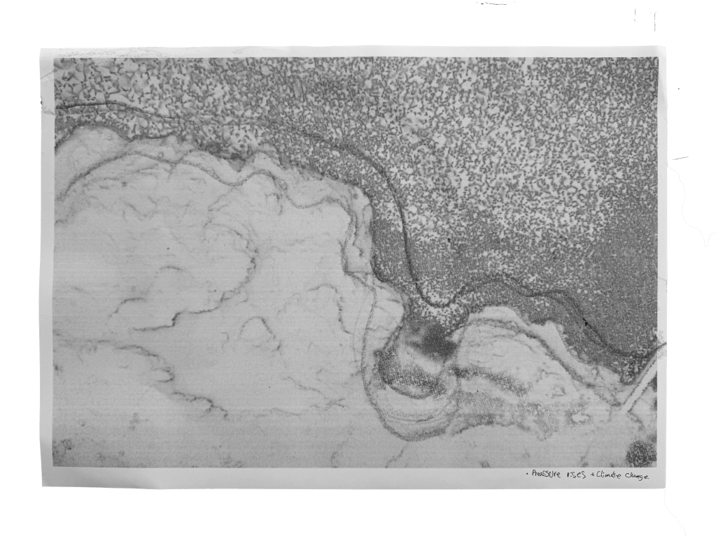
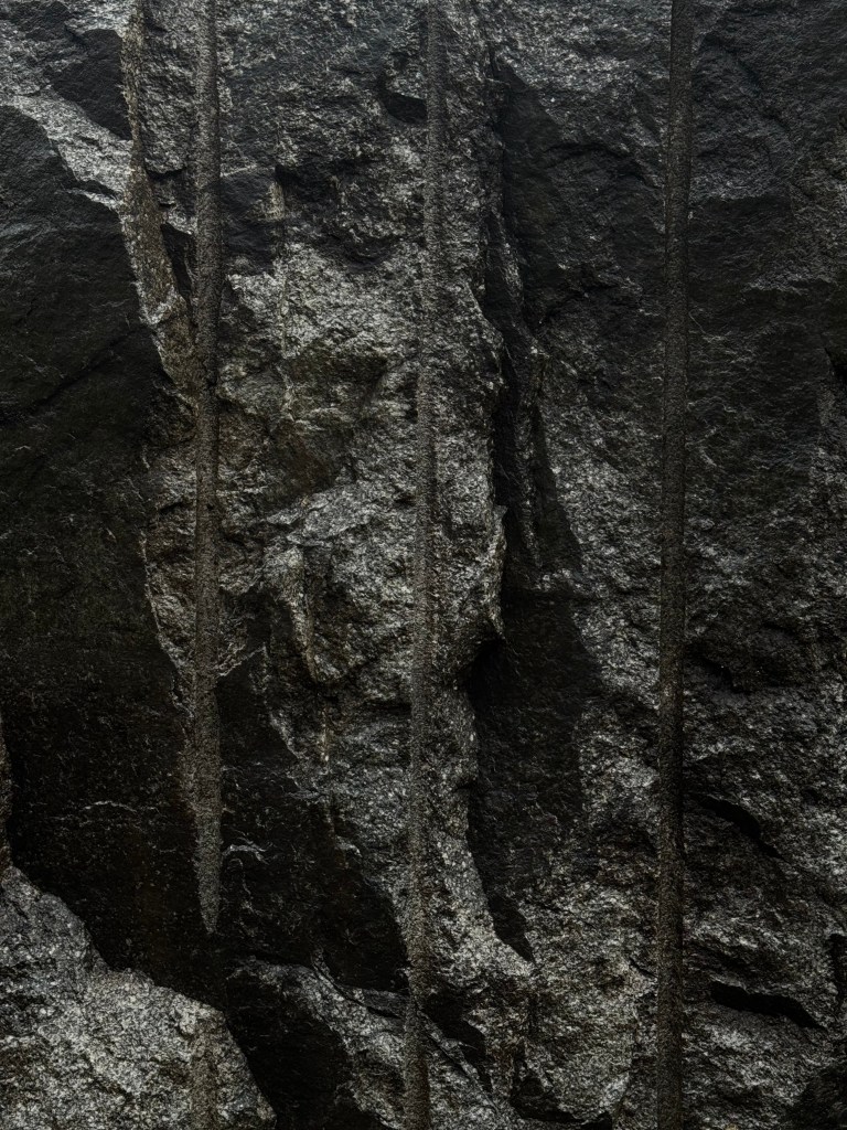
Remote Sensing
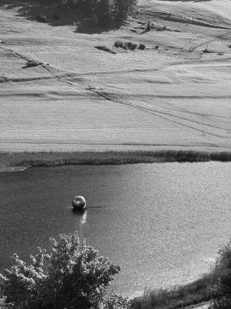
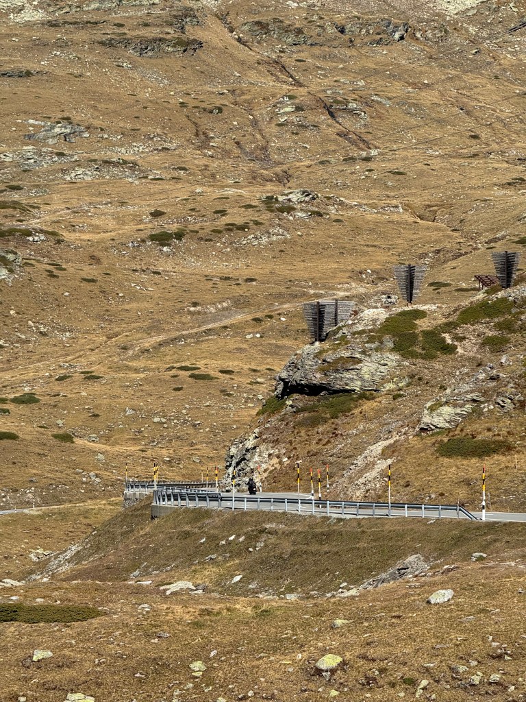
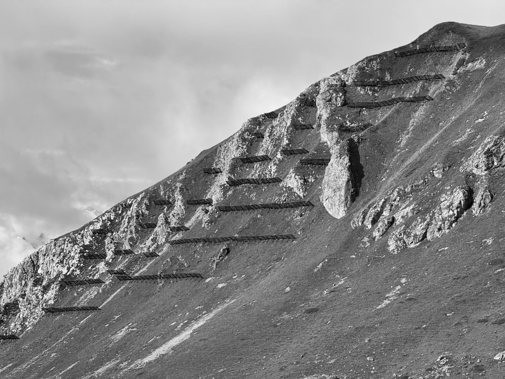
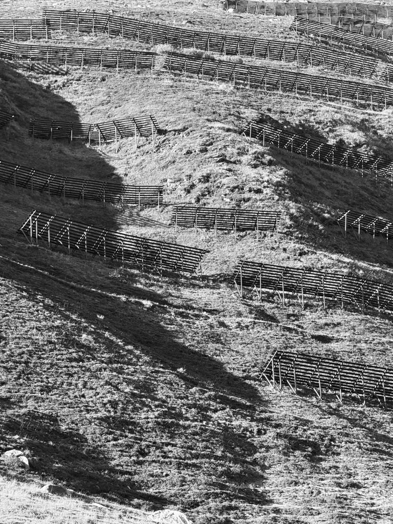
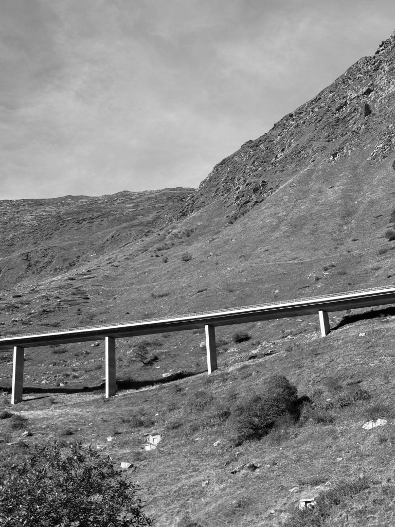
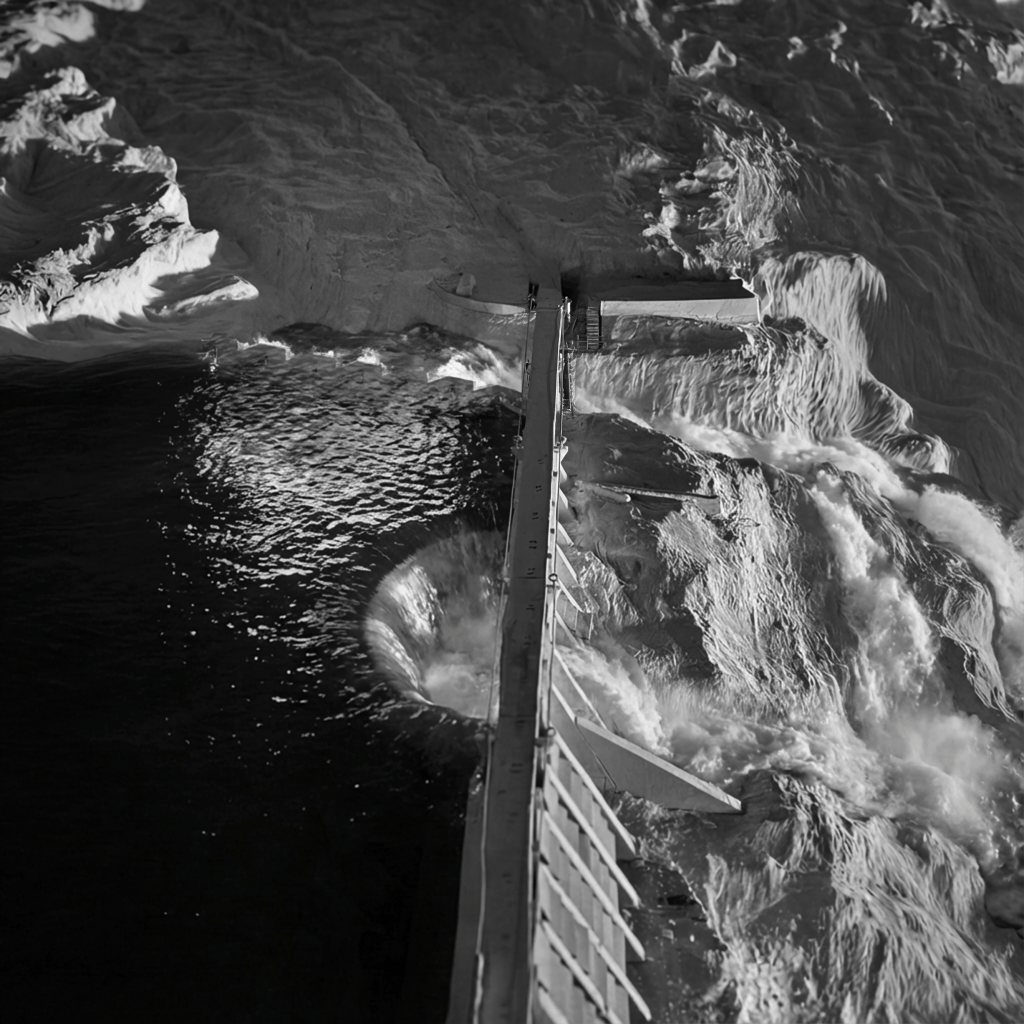
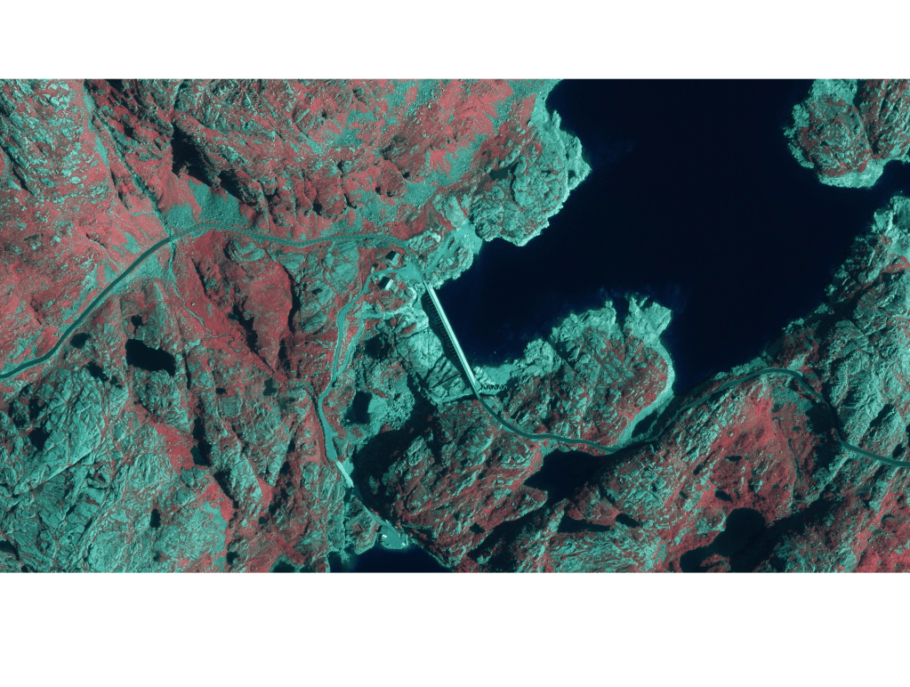
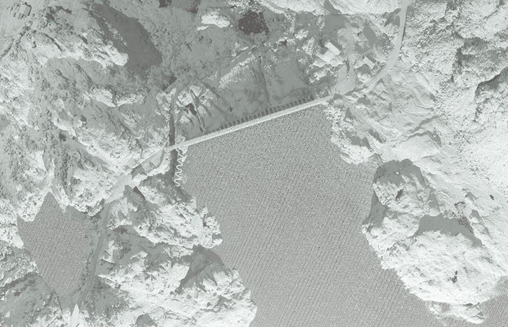
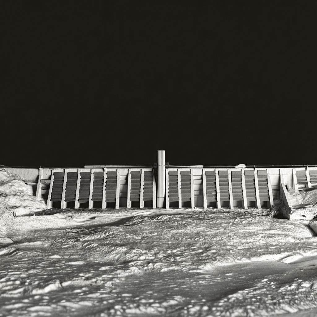
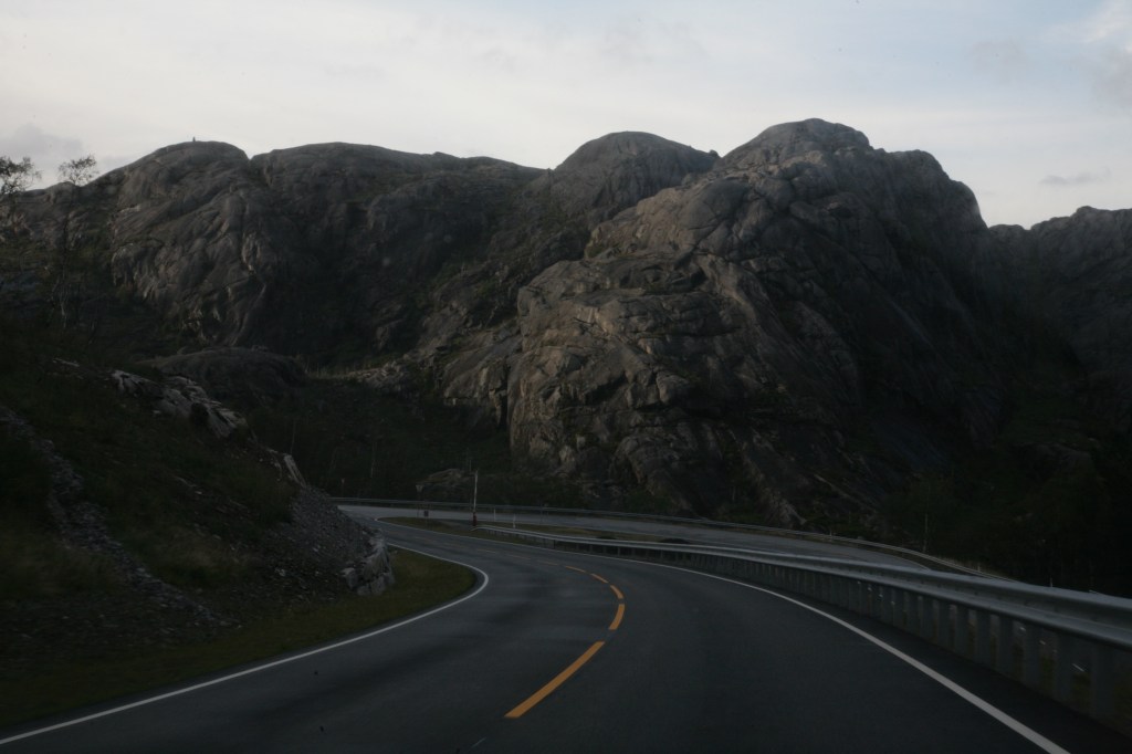
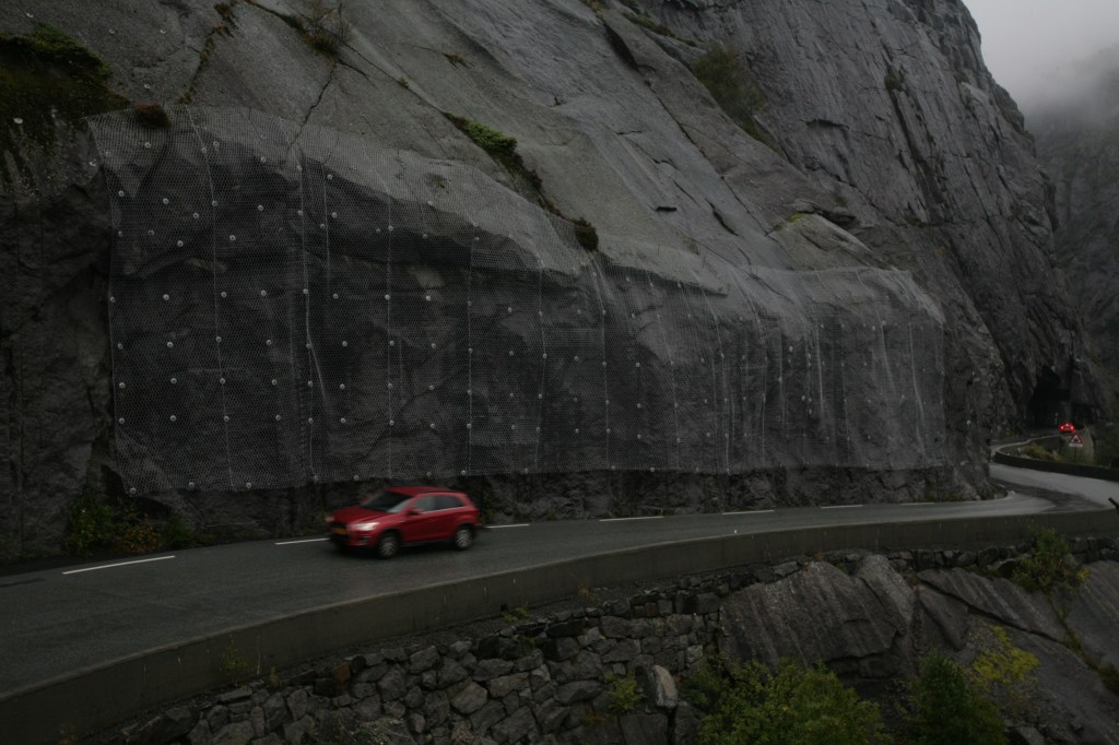
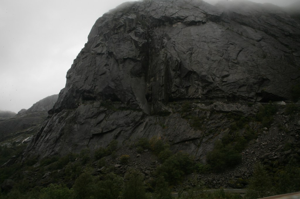
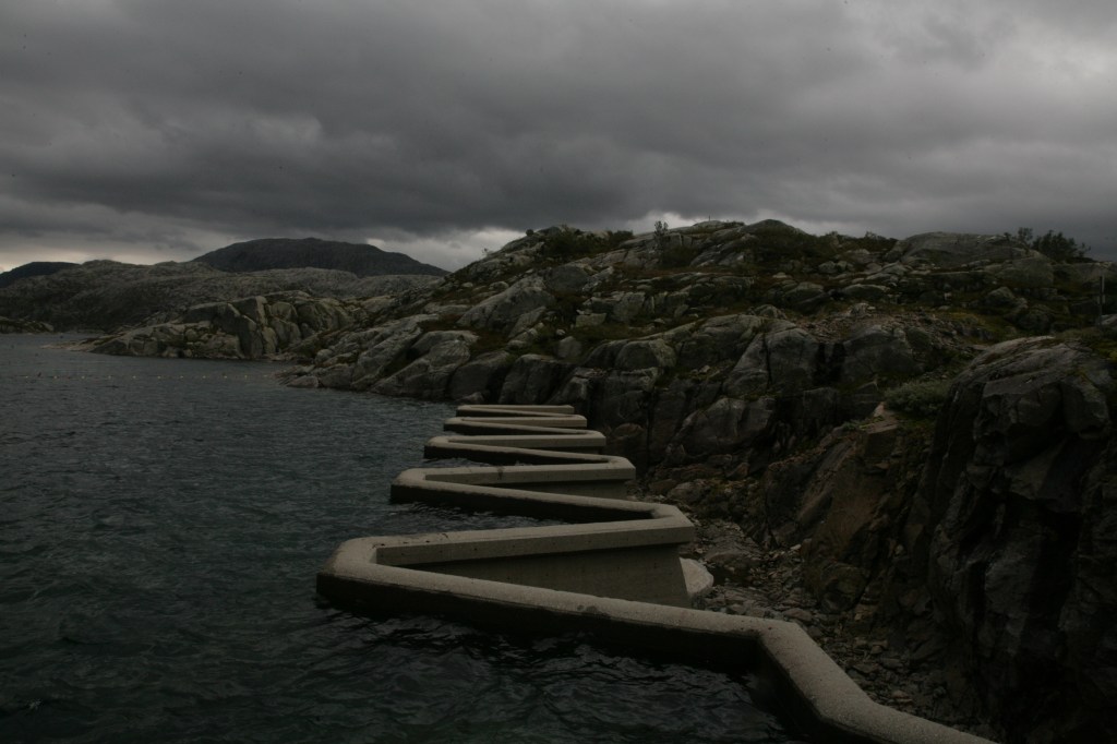
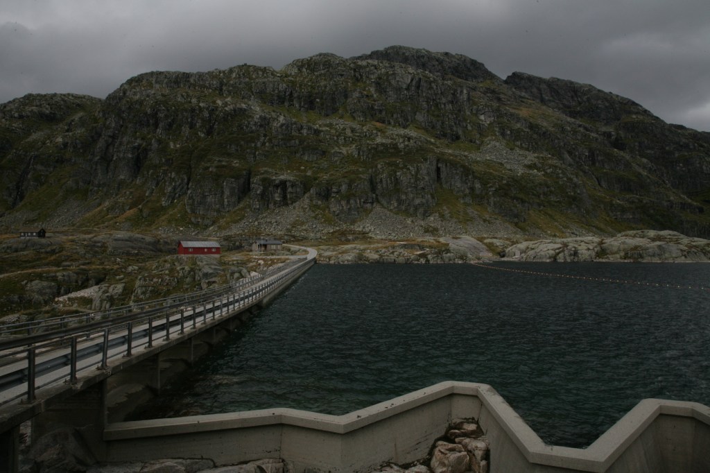
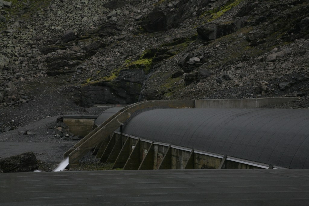
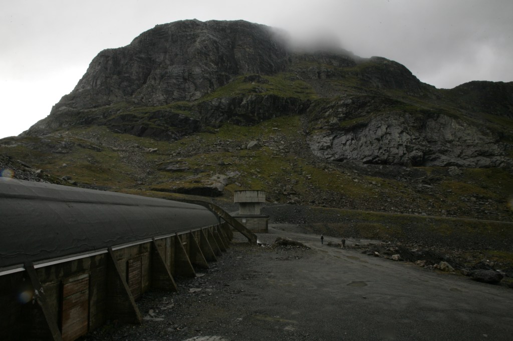
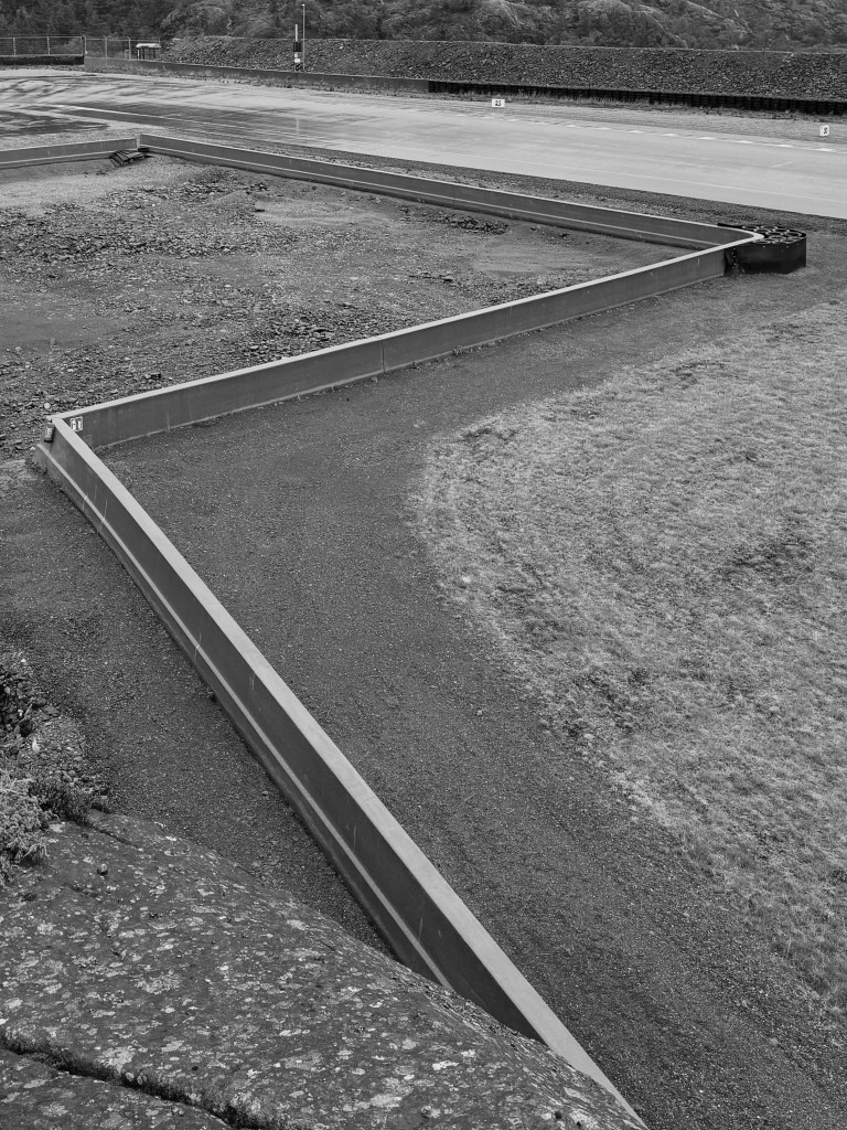
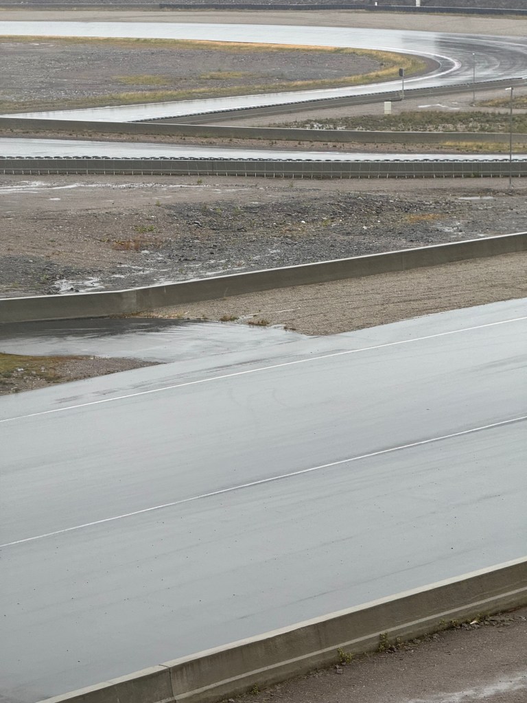
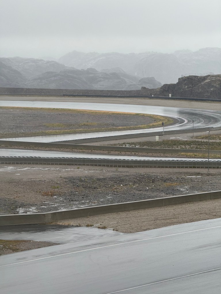
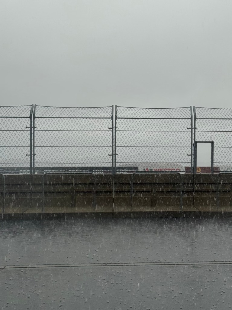
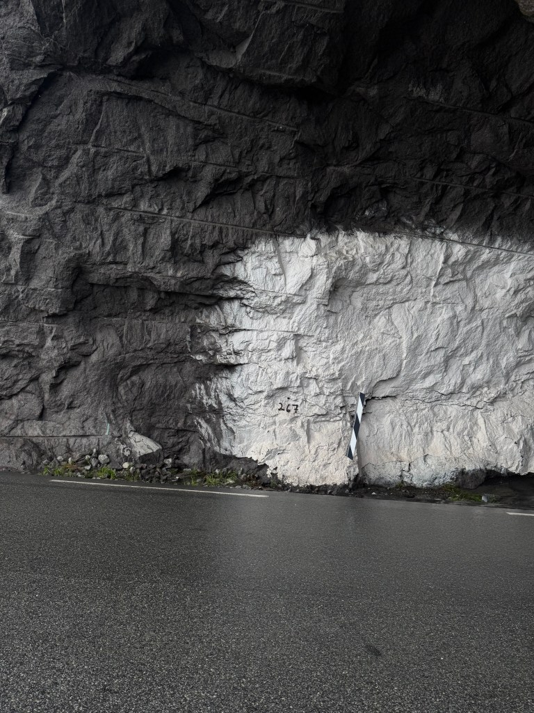
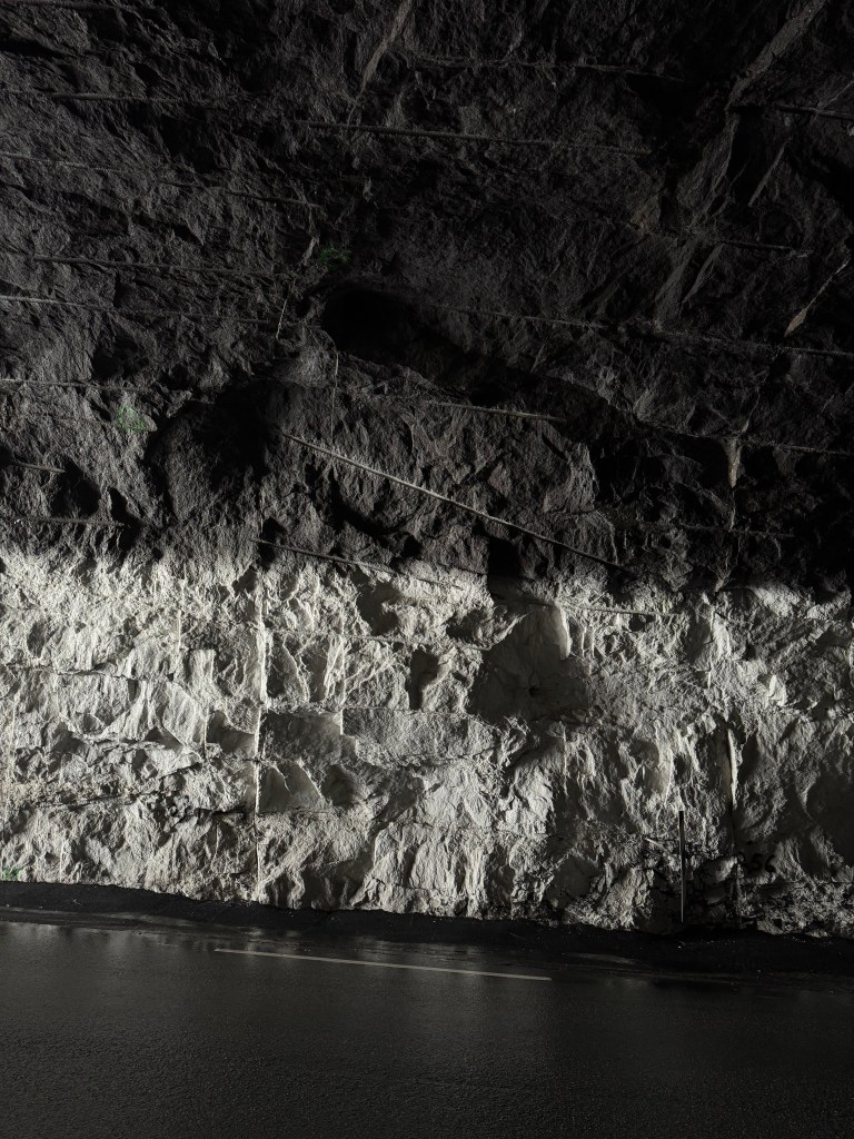
The project is situated at Svartavatn in Rogaland, within a glacial basin formed in hard gneiss and shaped by ice, water, and geological time. The 1927 buttress dam retains a two-square-kilometer reservoir with seasonally shifting water levels influenced by snowmelt, rainfall, and inflow from surrounding streams.
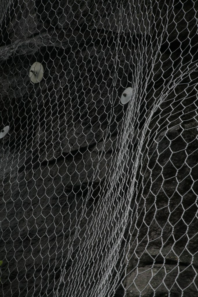
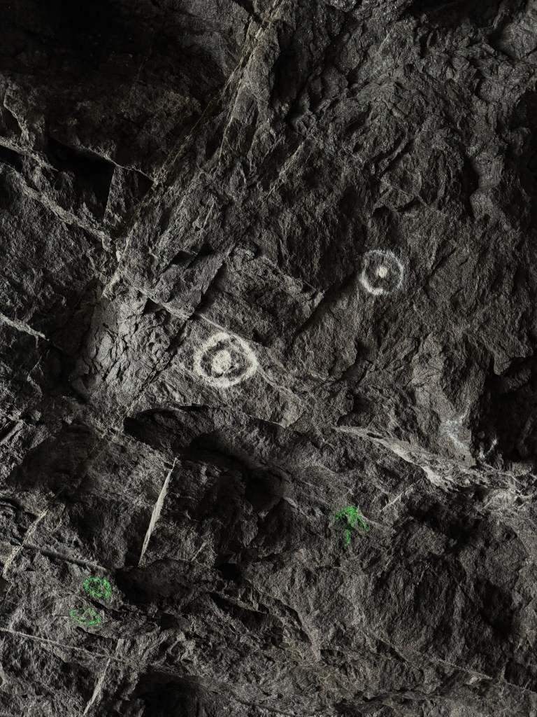
Remote sensing data, including surface scans and infrared imagery of the reservoir, is used to read hydrological behavior and boundary conditions over time. Combined datasets reveal instability in the water surface, visualized as an uneven and fragmented field of points that registers continuous movement, turbulence, and fluctuating levels. Infrared scans further identify an ecological threshold along the reservoir edge, where vegetation repeatedly fails to establish due to frequent changes in water elevation.
Through these readings, the dam is understood not only as an engineering structure but as a spatial system operating between liquid and solid geologies. Acting simultaneously as retaining wall, bridge, and measuring device, the structure makes pressure, fluctuation, and ecological limits legible, forming the spatial and conceptual foundation of the project.
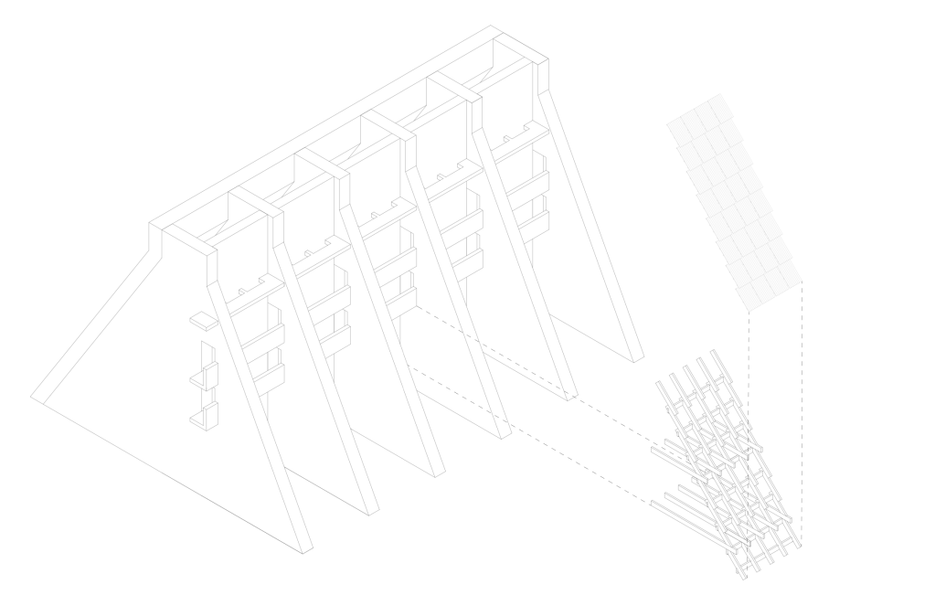
Monastic Interventions
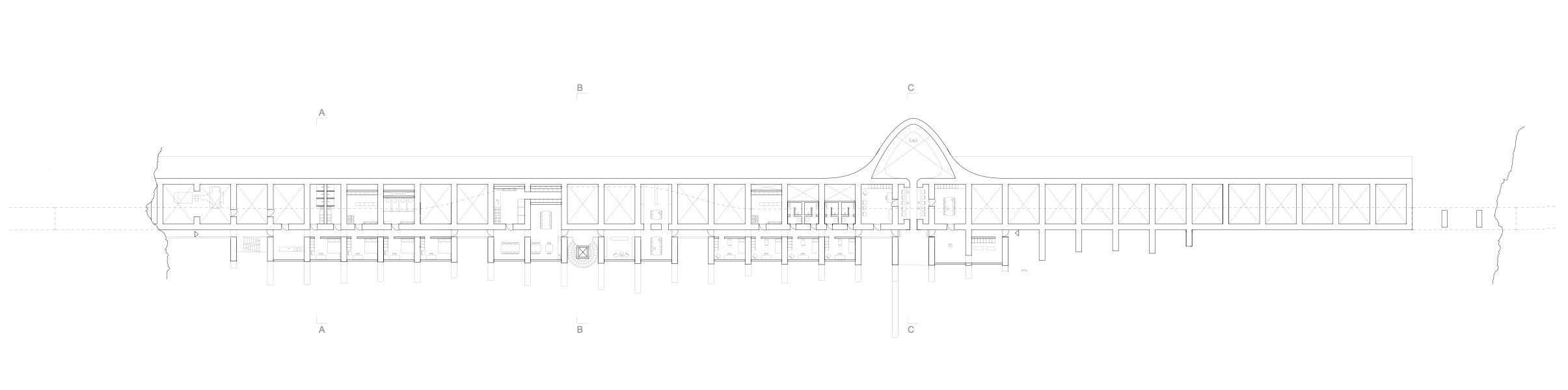
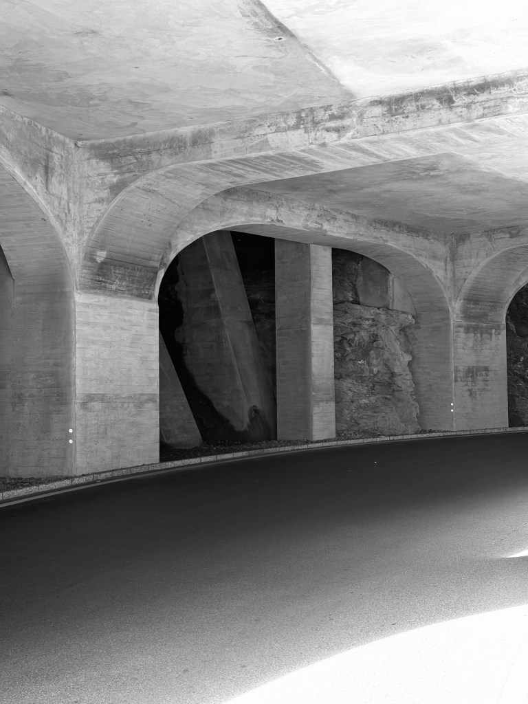
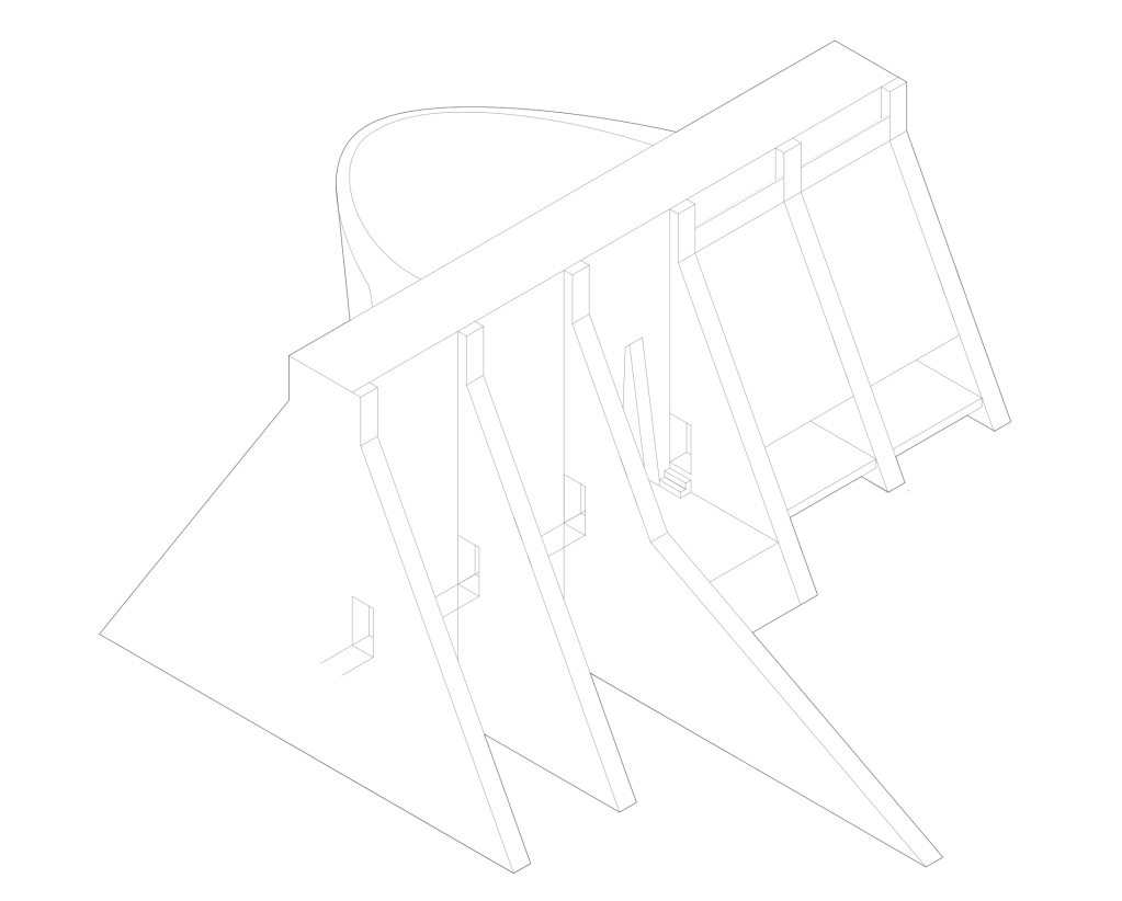
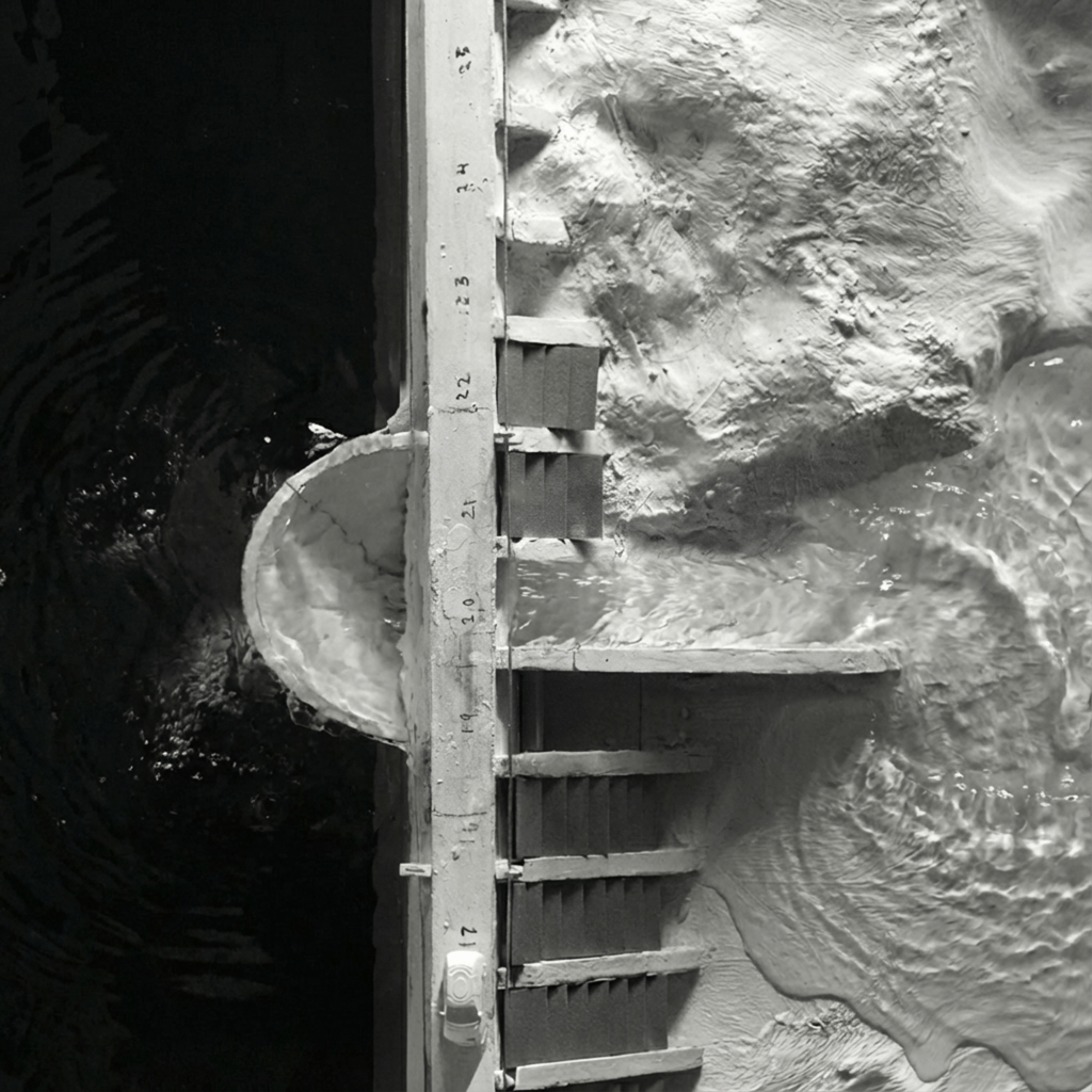
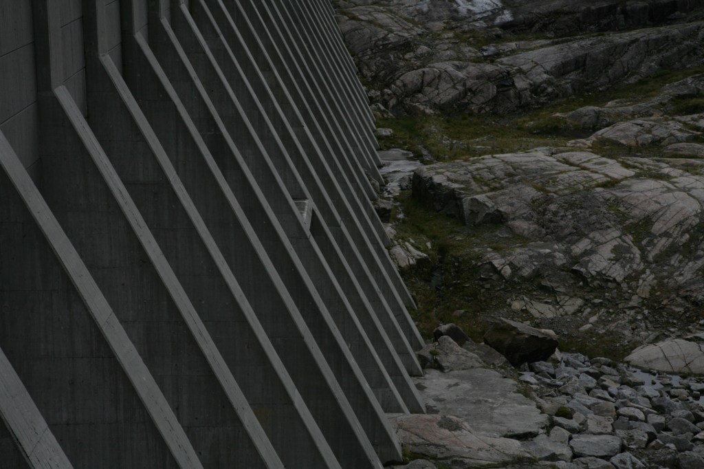
The program emerges from the structure itself. The buttresses establish a clear rhythm of 4.2-meter bays, the shifting water levels introduce changing spatial conditions, and the dam provides a stable foundation within a rugged landscape. The monastery inhabits the spatial and structural logic already present in the 1927 dam rather than imposing a new architectural order.
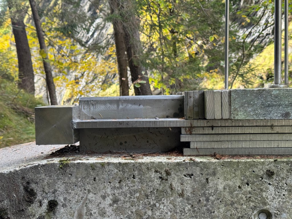
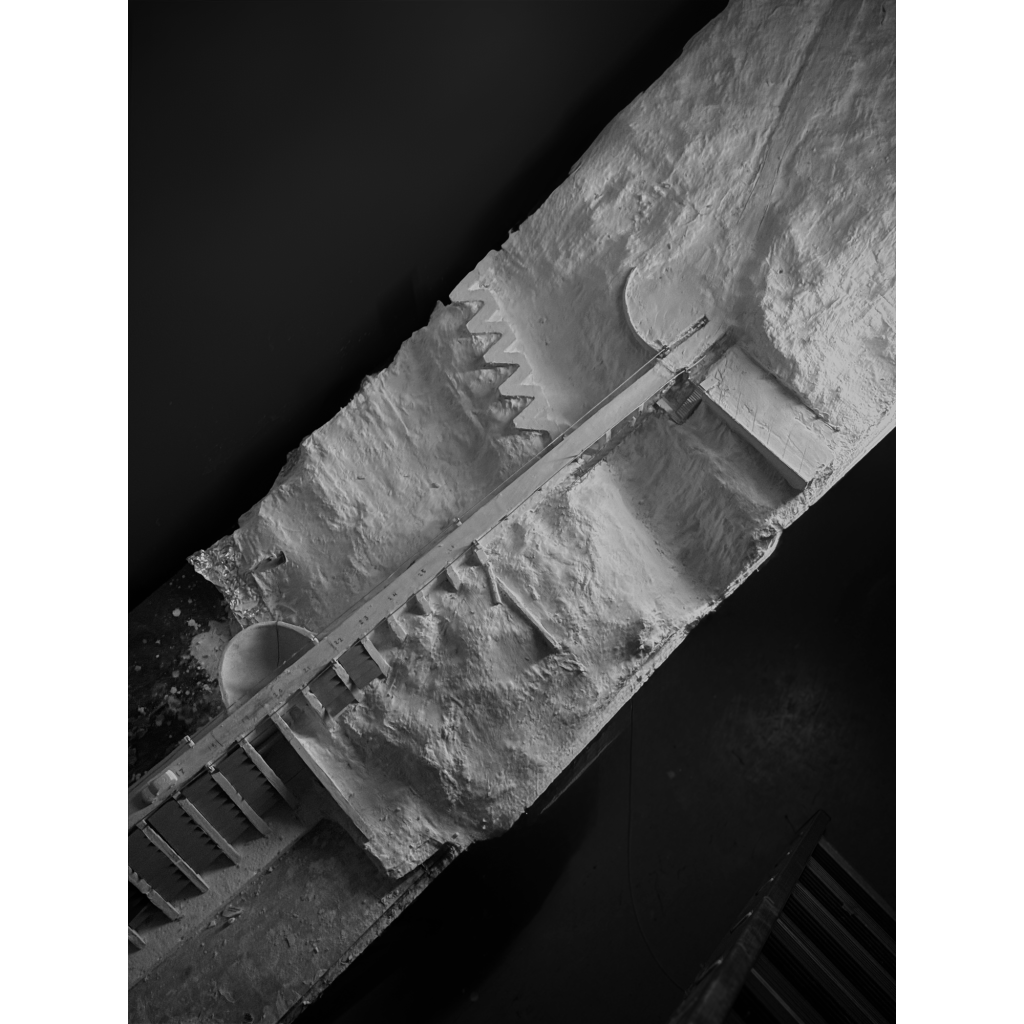
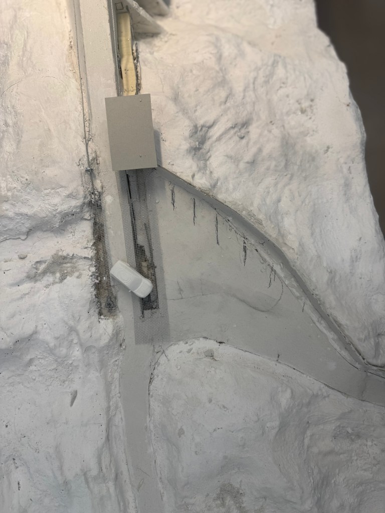
Because the dam contains an insulation wall between the water-facing side and the exposed landscape, the structure is hollow. This cavity becomes the backbone of the project. A concrete corridor is inserted along the insulation wall, with selective openings made through the buttresses to allow movement between interior and exterior. Programs that do not require daylight are placed inside the dam, while the spaces between the buttresses become the primary living areas, oriented toward light and landscape.
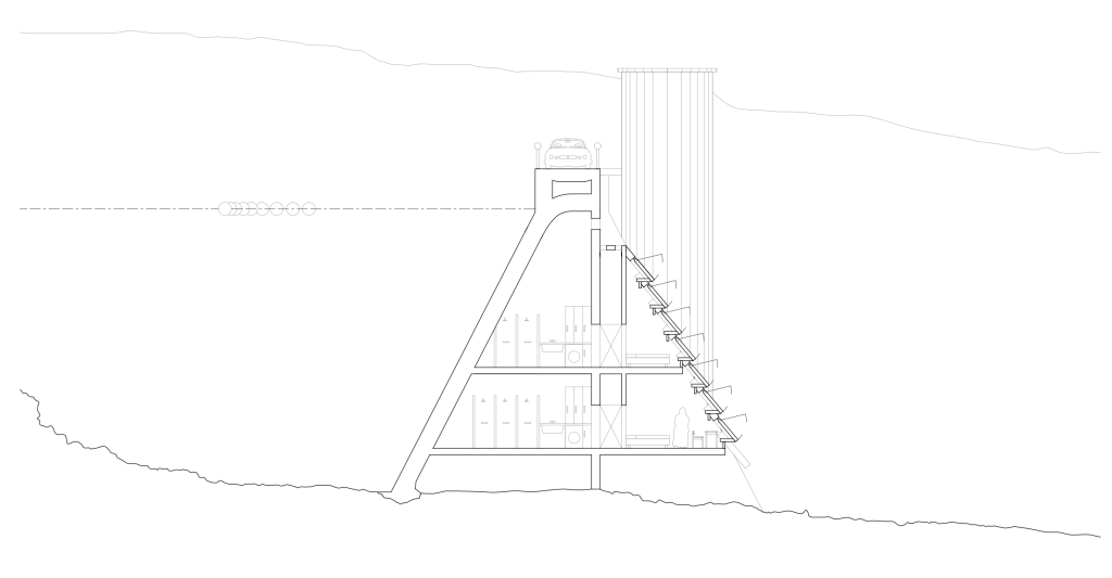
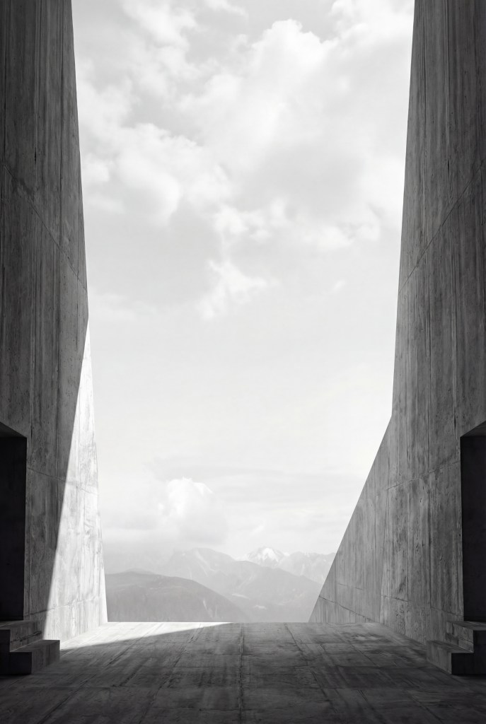
The monastery grows both inside the dam and externally between its buttresses. The plan is organized with visitors on one side of the structure and monastic functions on the other, connected by a central staircase and elevator that link the road above to the interior. Inhabitation is treated as a careful occupation of existing infrastructure, where daily life unfolds in close proximity to pressure, mass, and geological time.
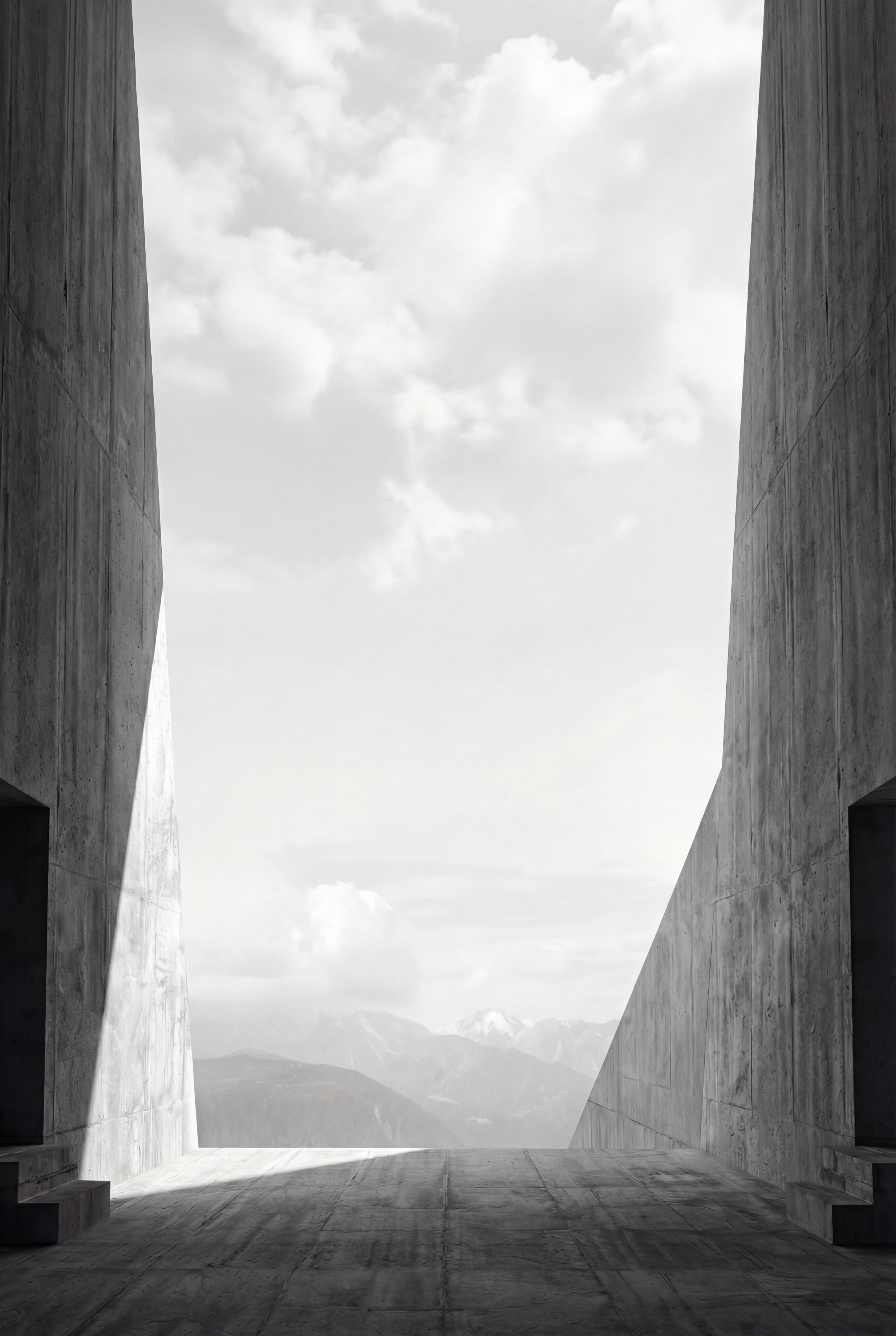
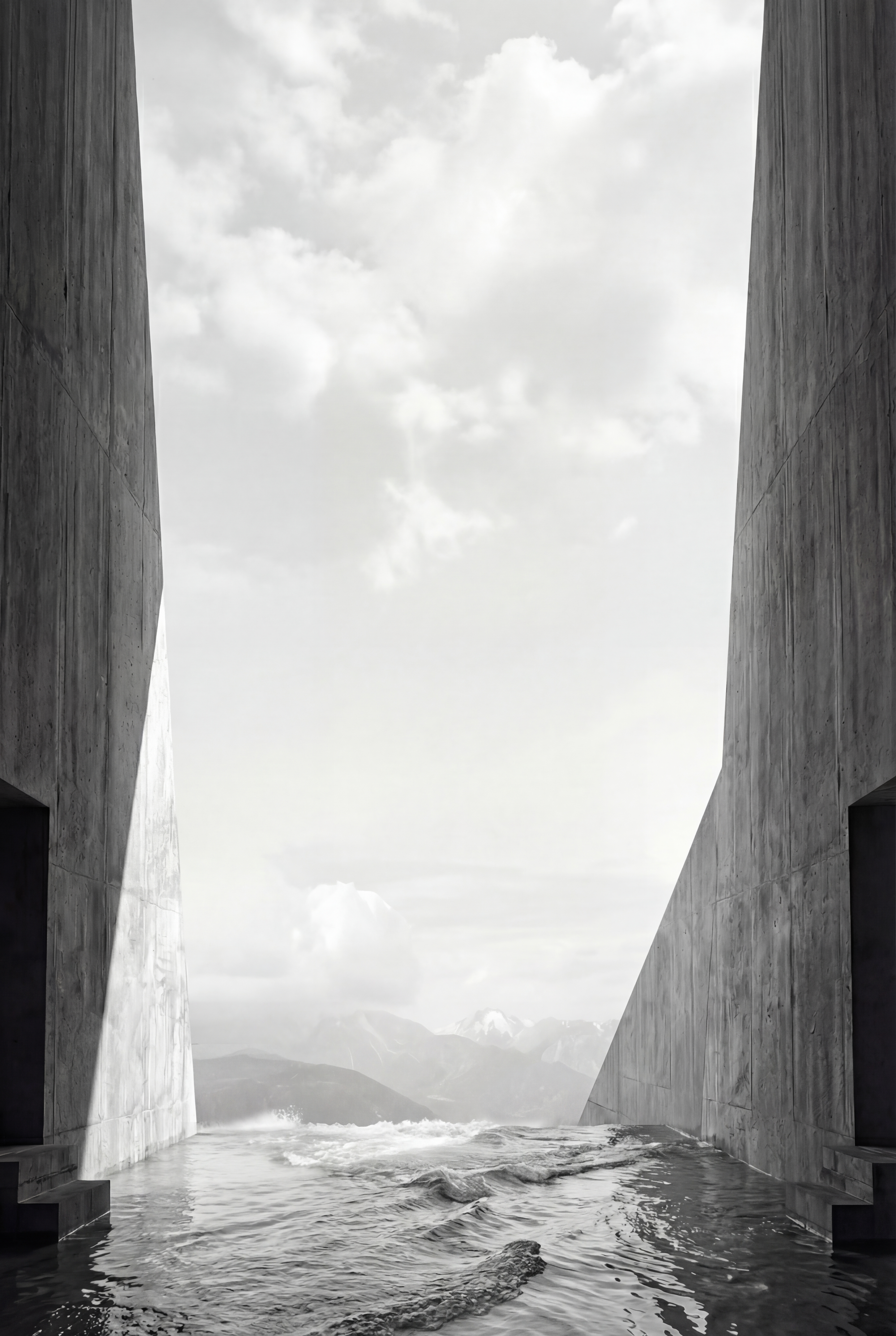
The Chapel as Negotiation
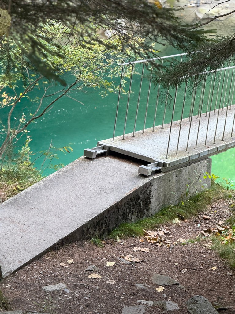
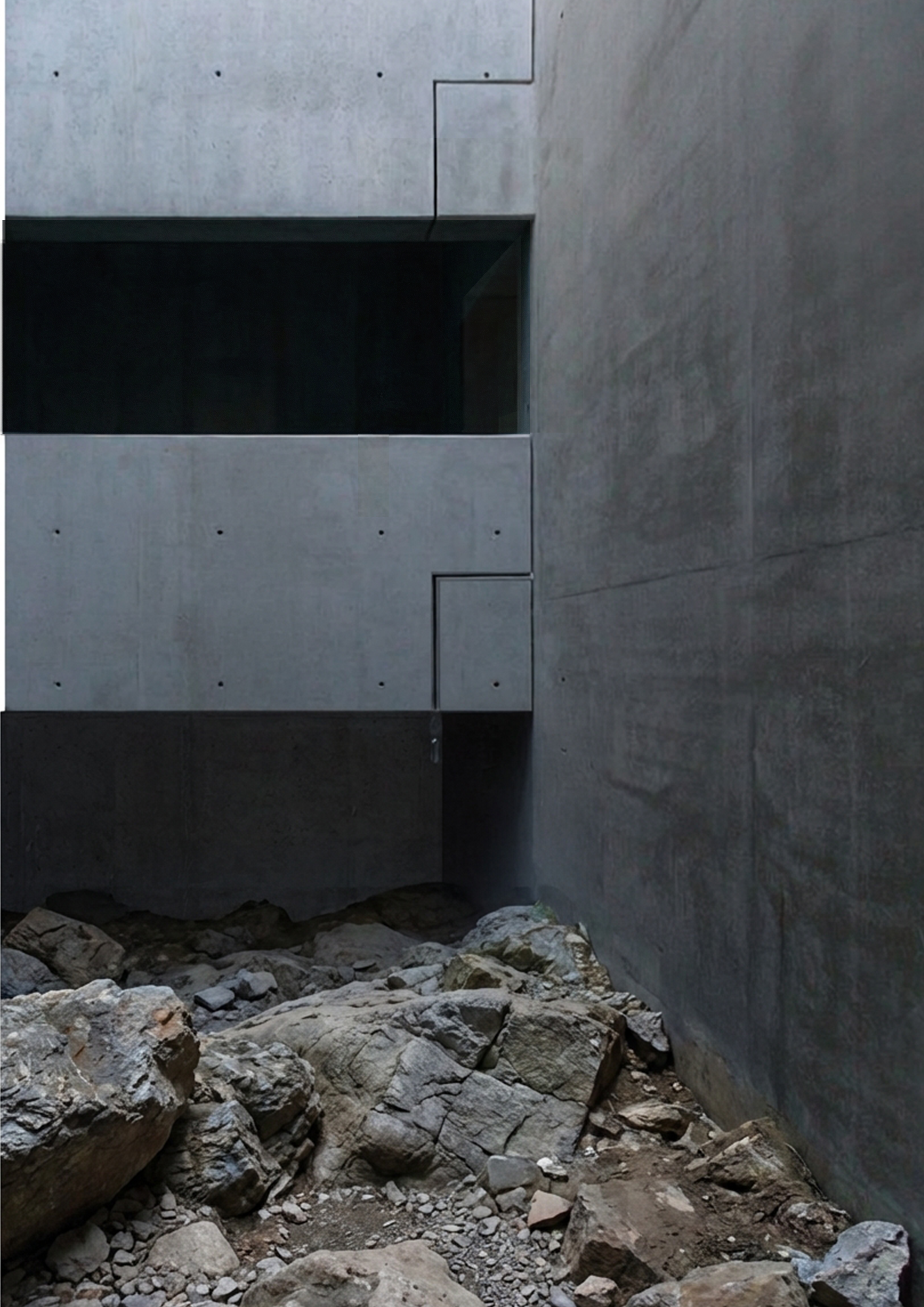
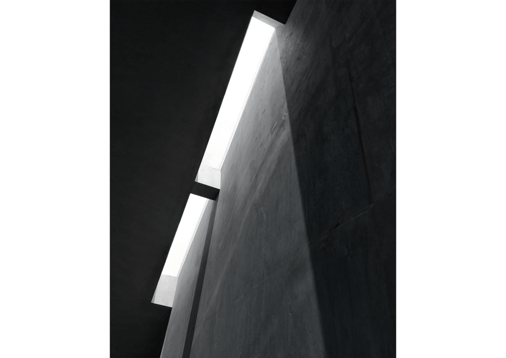
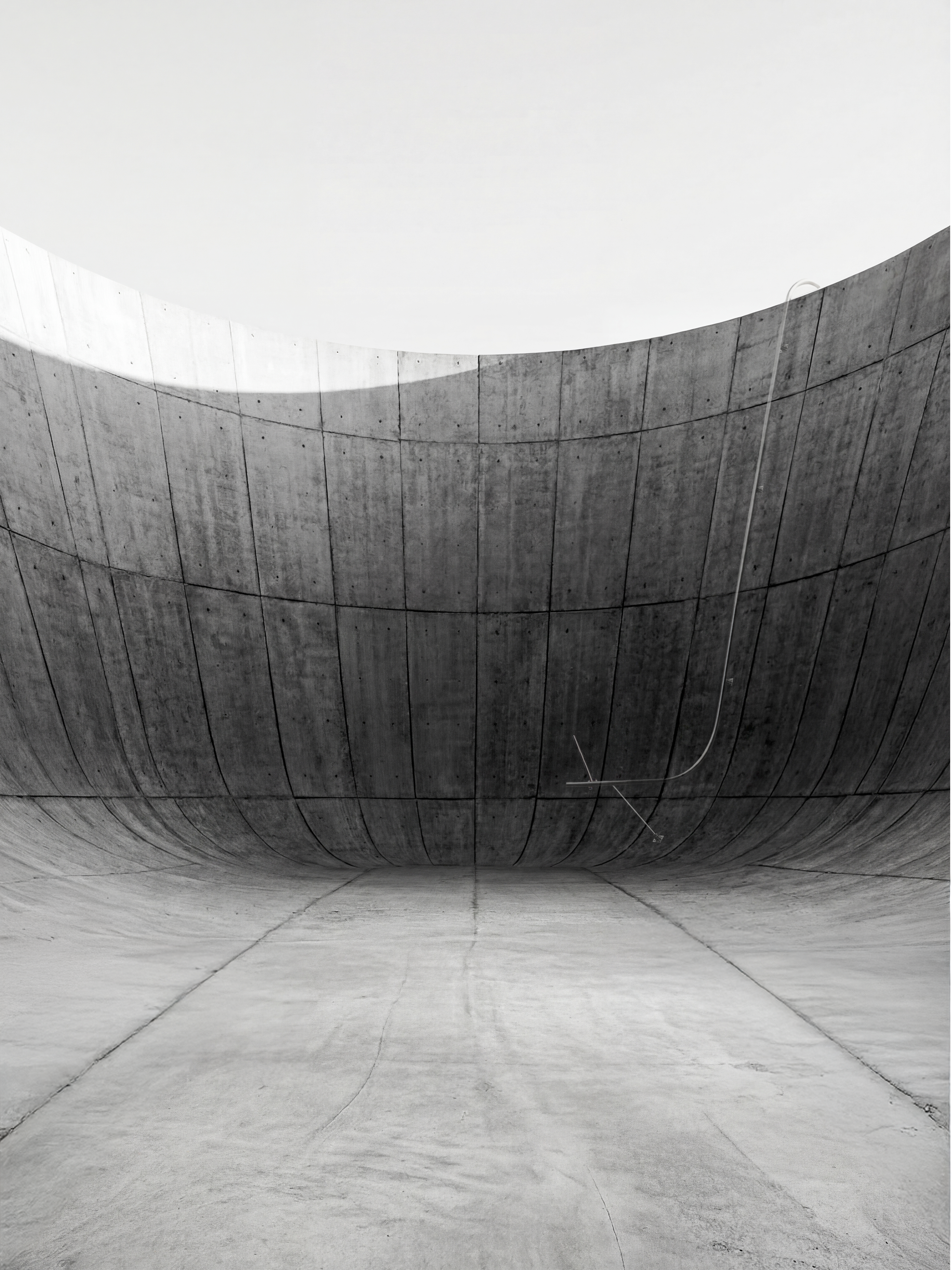
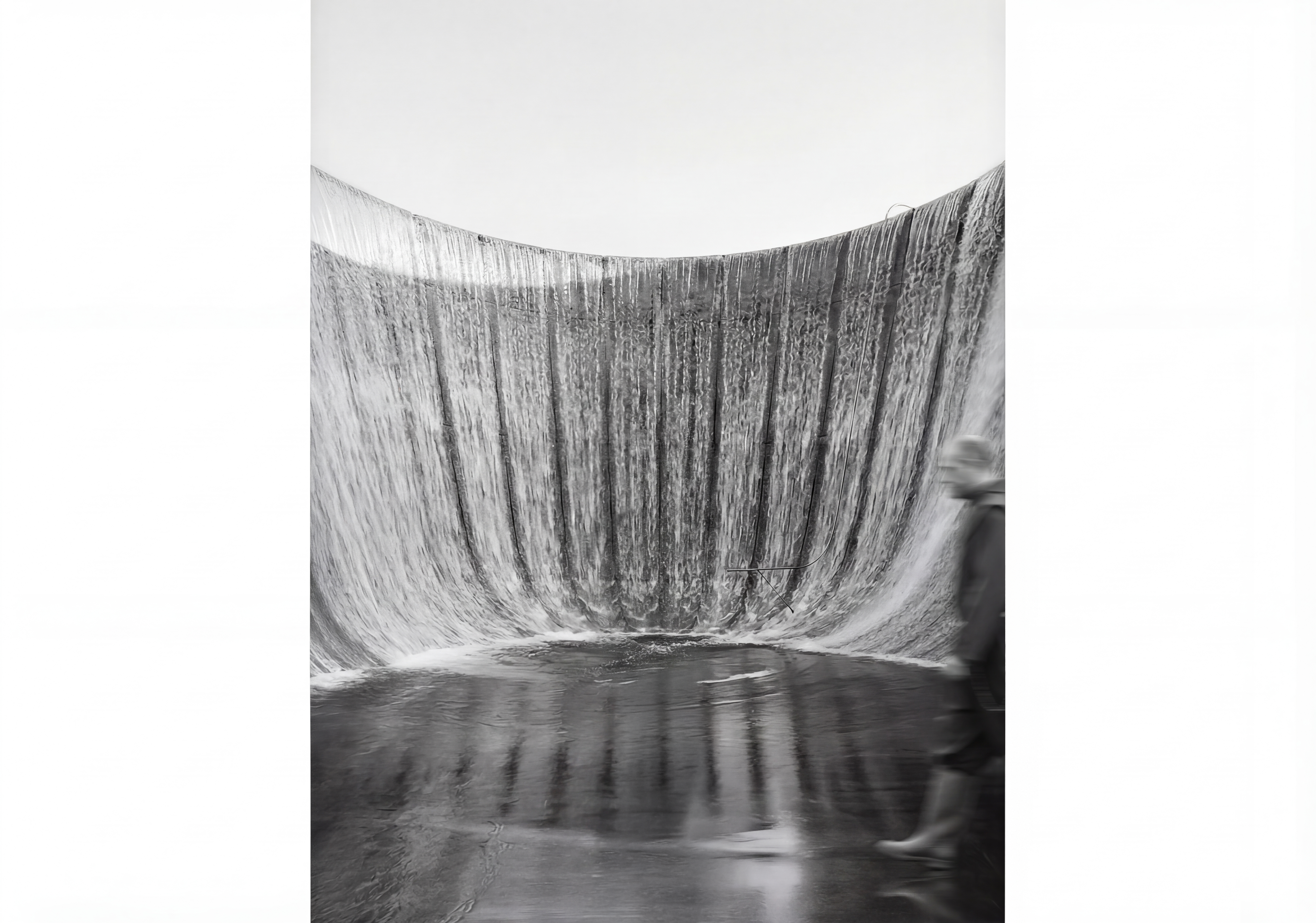
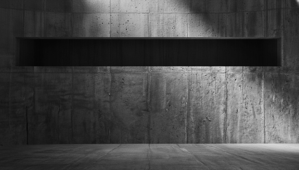
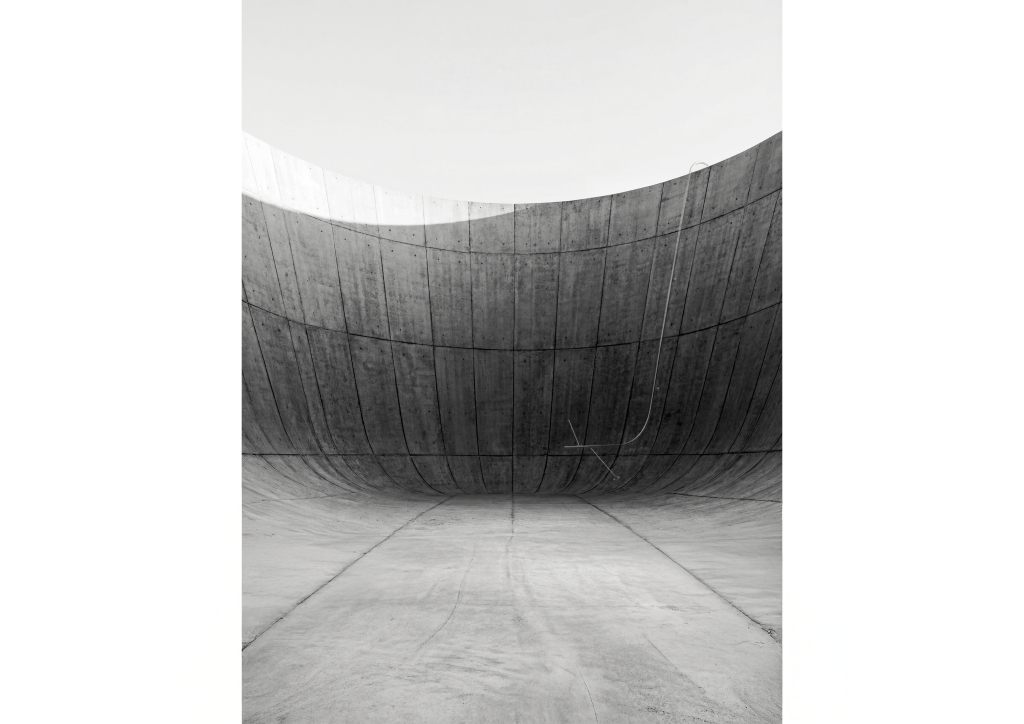
The chapel is the most critical space in the project, both structurally and conceptually. Because any alteration to the dam reduces its structural capacity, the chapel also functions as an overflow condition directly connected to the reservoir. To compensate for this, the reservoir water level is lowered by five centimeters, removing approximately 100,000 tons of pressure from the dam.
This condition means that nature determines when the chapel can be used. At high water levels the space may be inaccessible, while at lower levels water can enter the chamber and surround the occupants. The chapel is not a controlled interior but a negotiated space, where ritual takes place on the terms of the mountain and the water.
To ensure that water remains present even at low reservoir levels, a siphon system draws water over the edge of the dam and into the chapel. Water becomes an active material within the space, a constant reminder of the immense pressure held just beyond the wall. As the water rises and falls, the character of the room shifts, allowing the chapel to register natural forces rather than exclude them.
In this way, the project questions conventional relationships between architecture, religion, and nature. The chapel does not assert permanence or authority but instead reframes belief as something contingent on hydrology, pressure, and time. Architecture becomes a mediator rather than a shelter, and ritual is conditioned by the landscape itself.


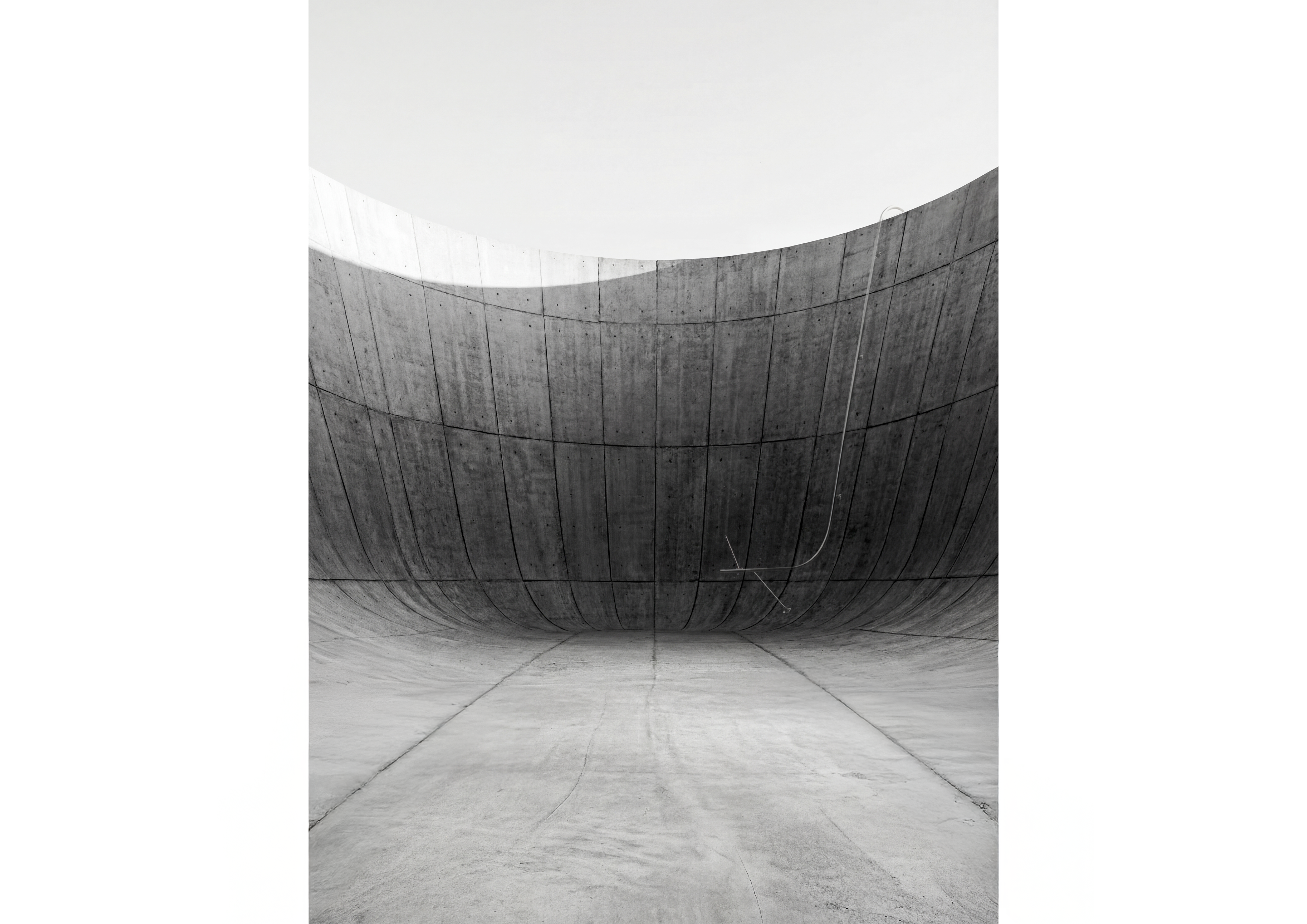
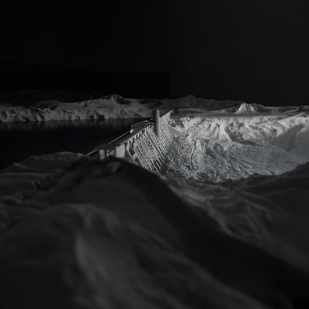
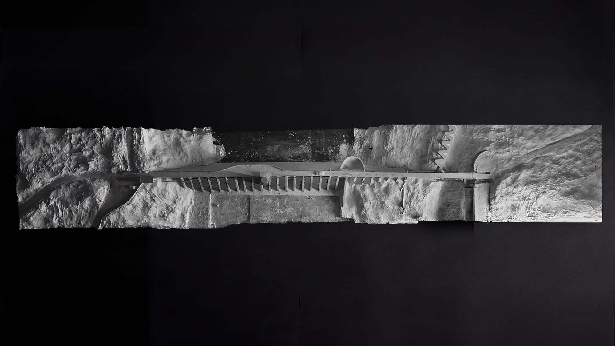
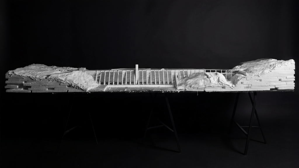
Physical Model
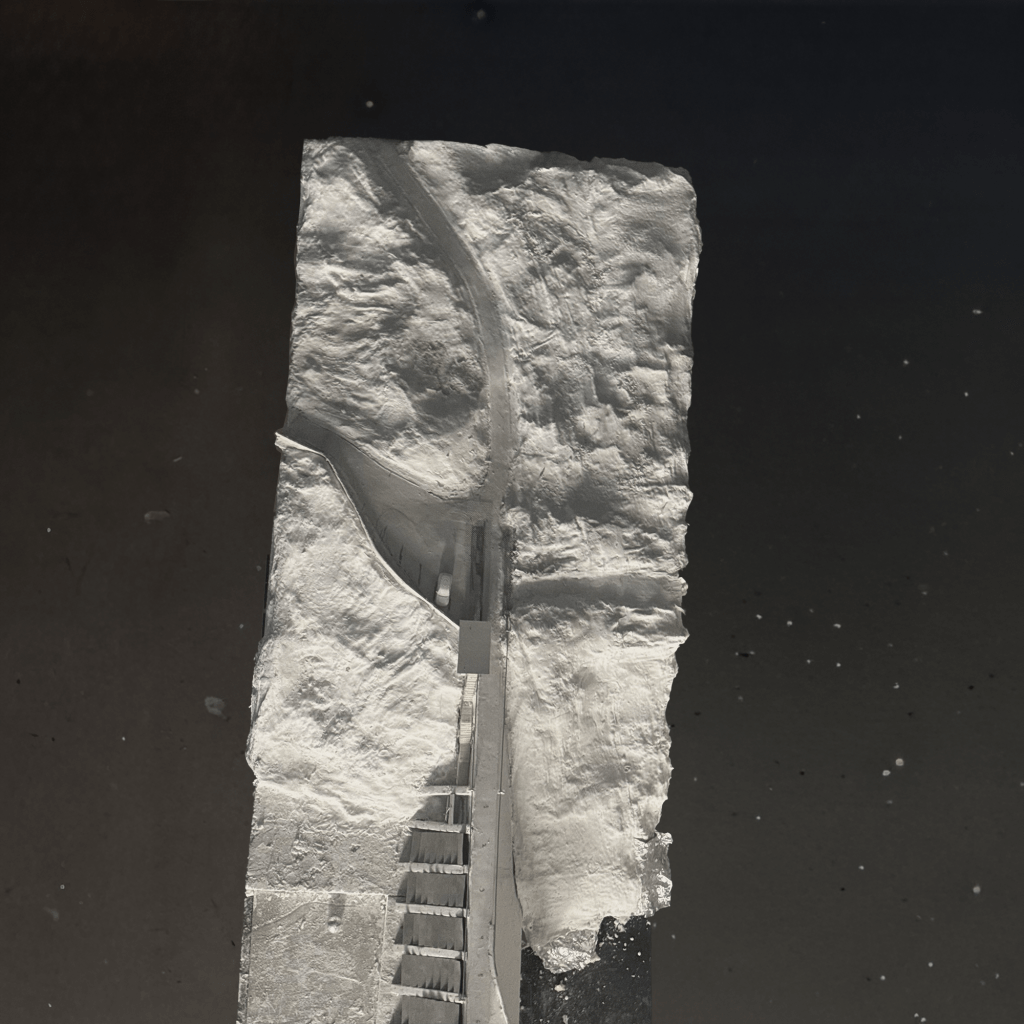
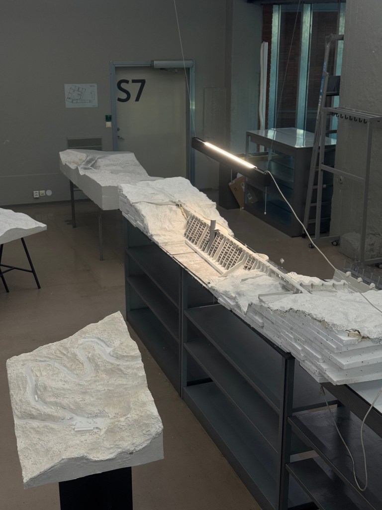
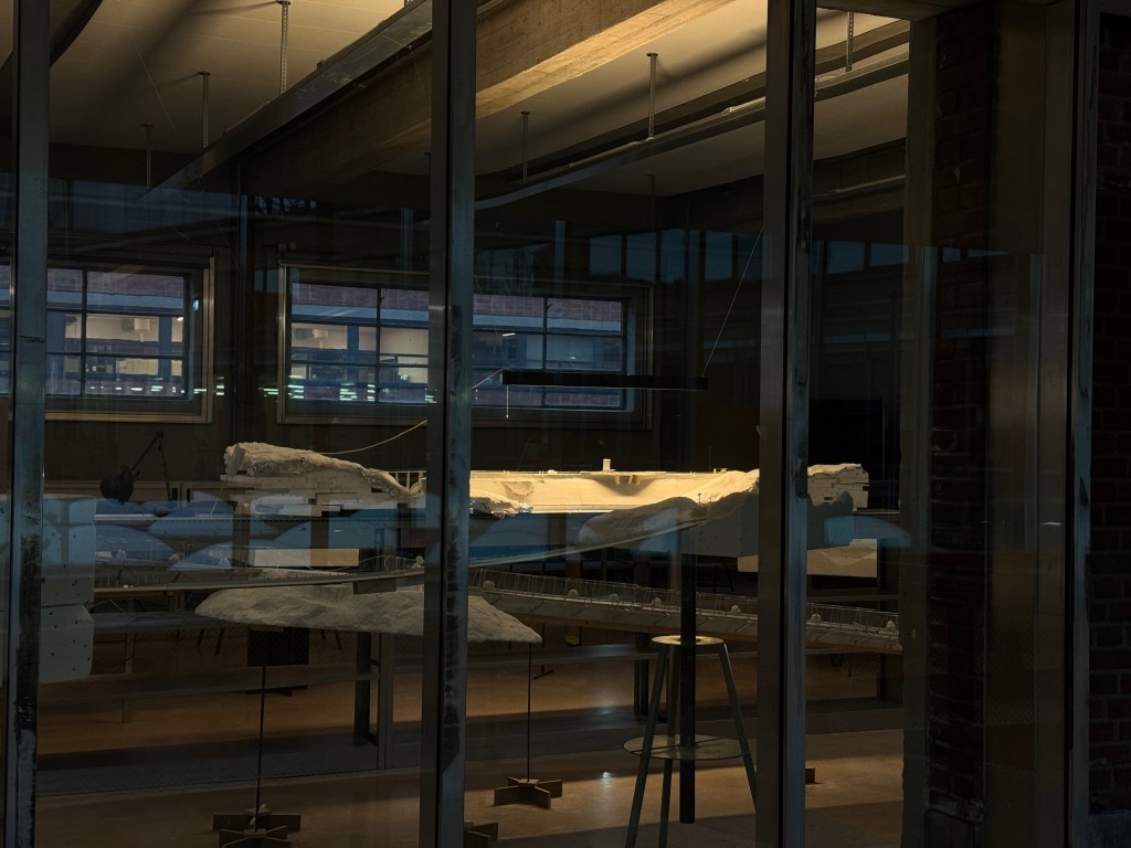
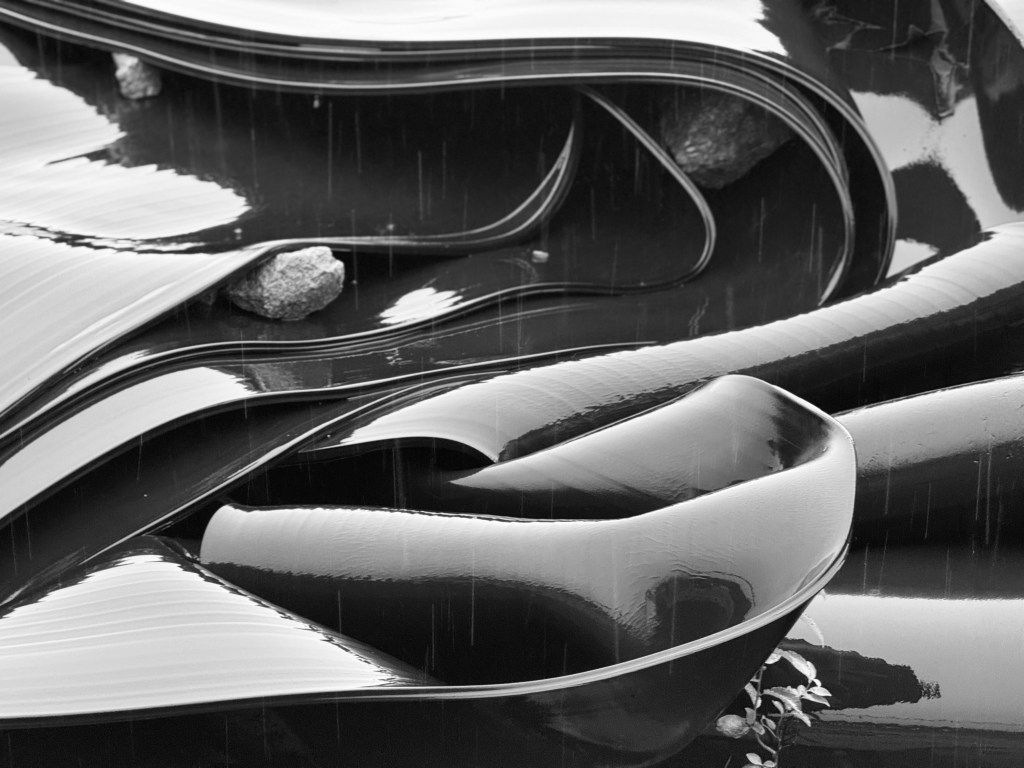
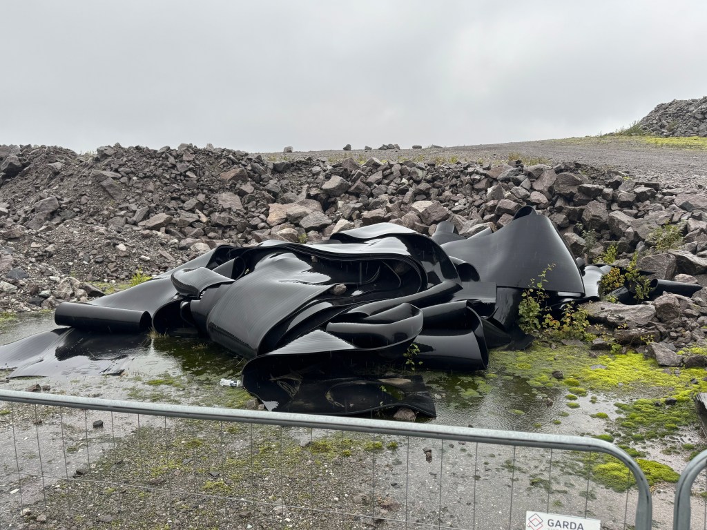
The project is developed through a large-scale physical model measuring 3.5 meters, used as a primary tool for spatial and structural exploration. Working at this scale allows relationships of pressure, sequence, and inhabitation to be tested through physical making rather than abstraction.
The model is photographed under controlled lighting conditions. Selected images are then blended with digital terrain data derived from height models using software such as AerialOD and Blender. This process allows the physical model to be situated accurately within the site’s topography rather than placed into photographic imagery. Final adjustments and calibration are carried out in Photoshop.
Model making, photography, and digital terrain integration operate as a continuous workflow. Representation is used as a method of investigation, allowing the project to be tested at the intersection of physical materiality and large-scale landscape data.
Illustrations
The illustrations are developed through a hybrid workflow combining digital modeling, rendering, and image-based editing. Base geometries are produced in Rhino and rendered to establish spatial clarity and scale. These renderings are then processed in Photoshop, where textures are constructed, layered, and adjusted to develop material presence and atmosphere.
AI-based fill tools are used selectively to extend surfaces, refine backgrounds, and test spatial continuity, not as generators of form but as part of an iterative editing process. The images are completed through manual compositing and tonal adjustment in Photoshop, allowing control over depth, light, and material character.
The illustrations function as analytical representations rather than final images, supporting the project’s exploration of structure, pressure, and landscape through a controlled visual language.


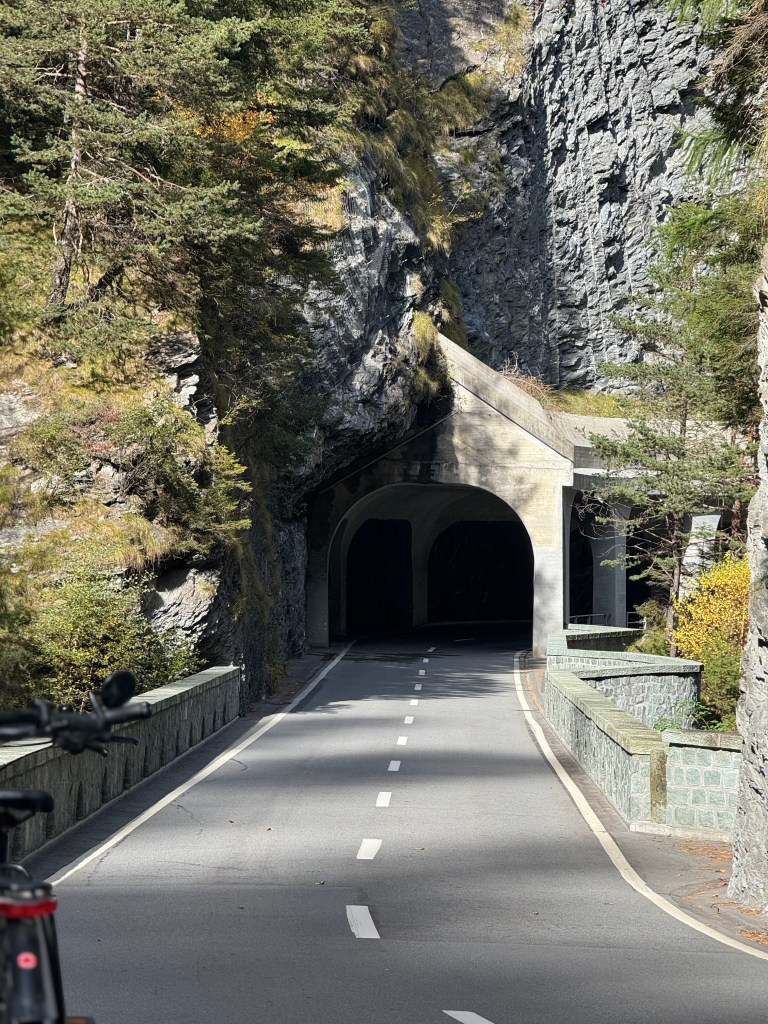
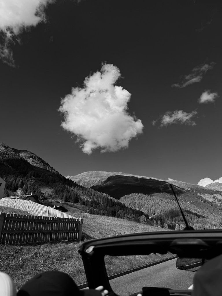
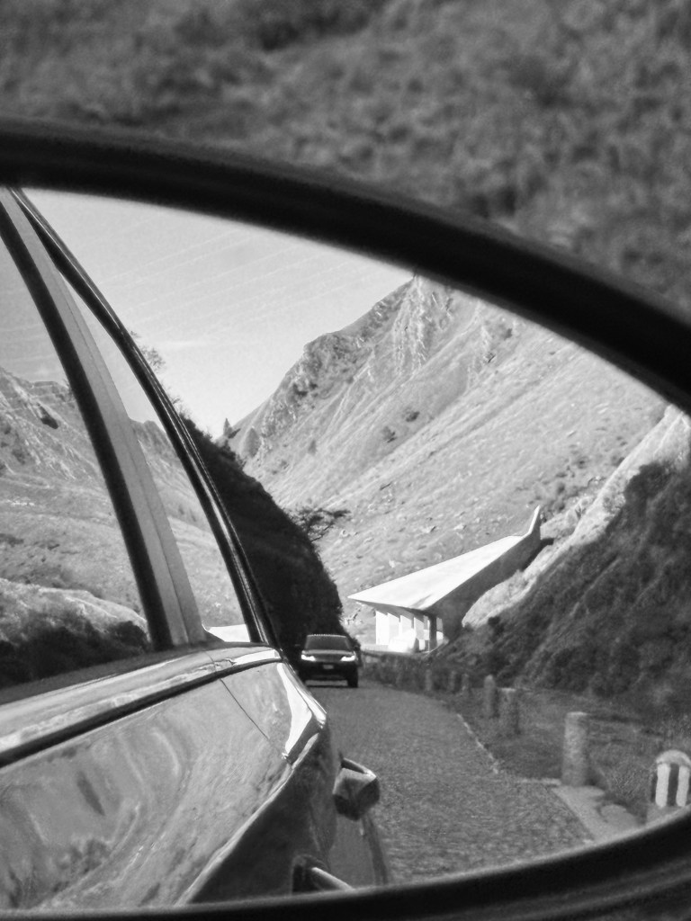
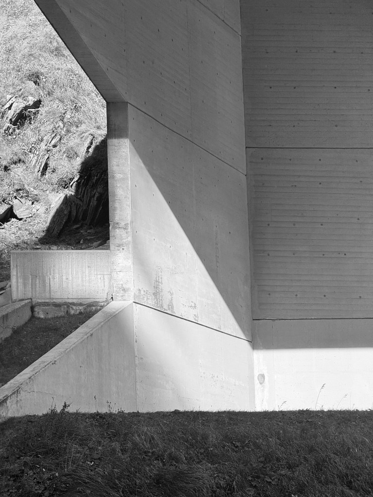
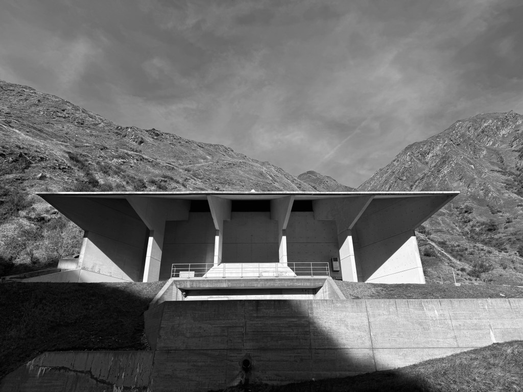
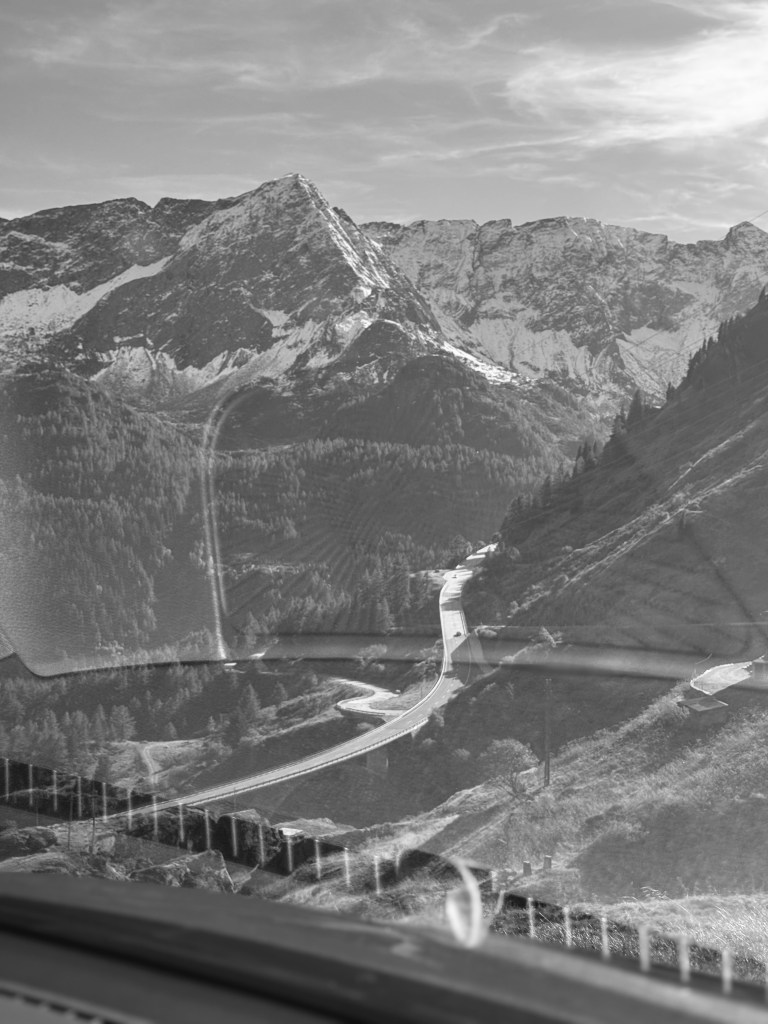
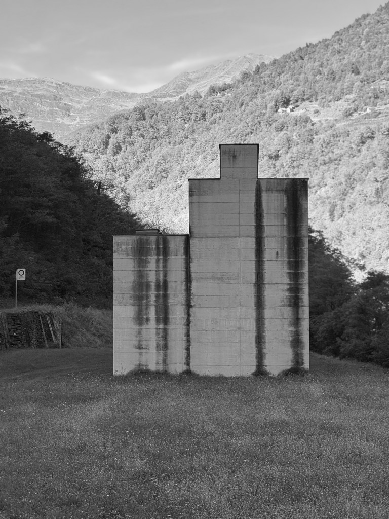
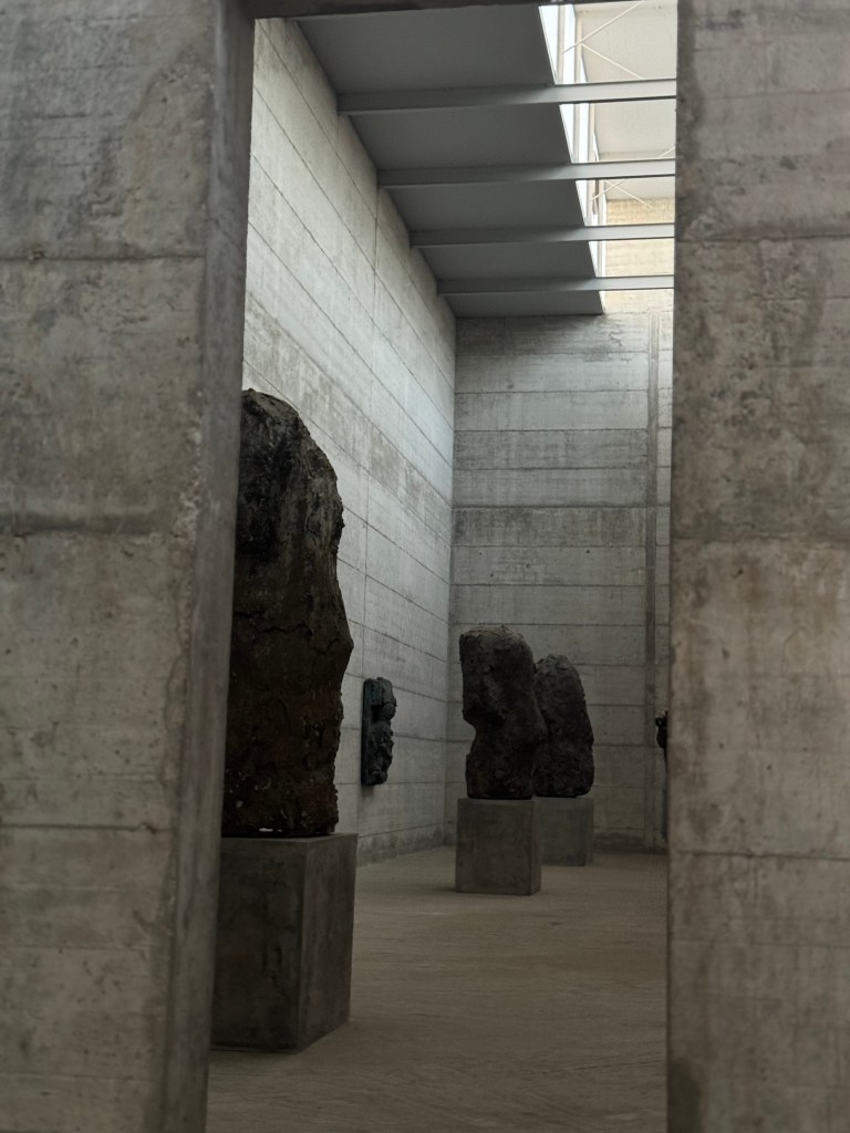
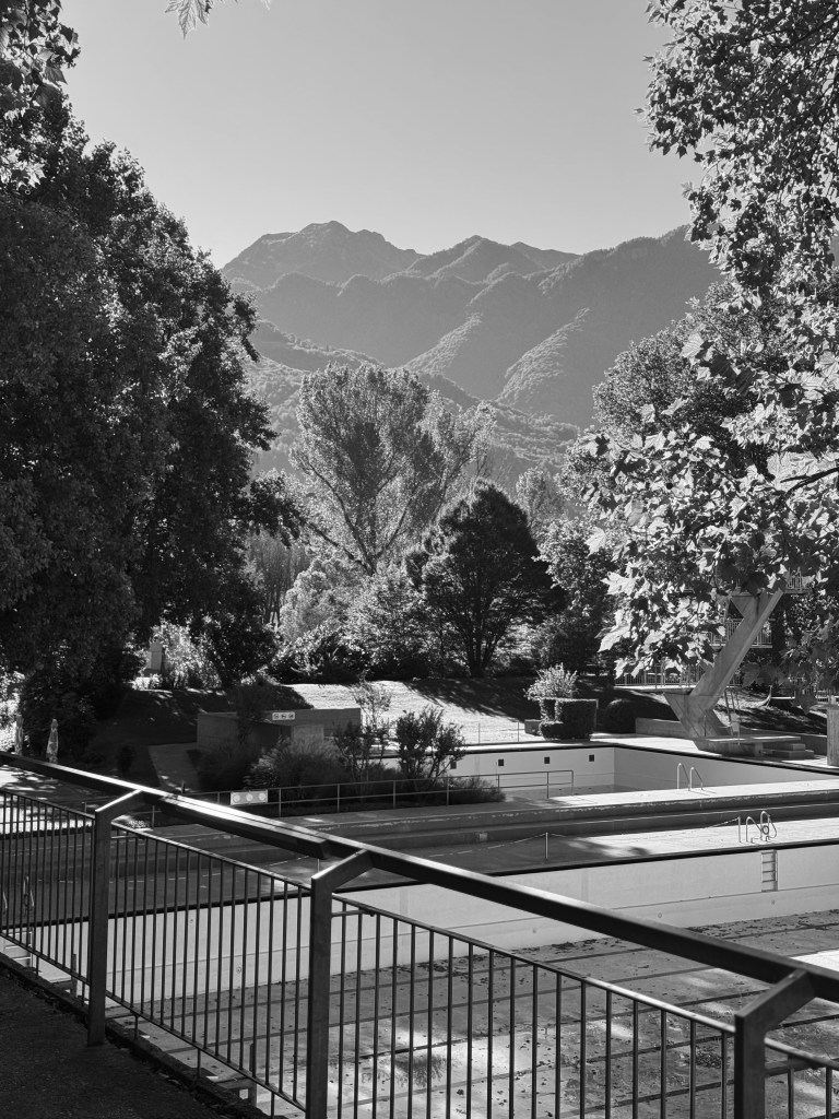
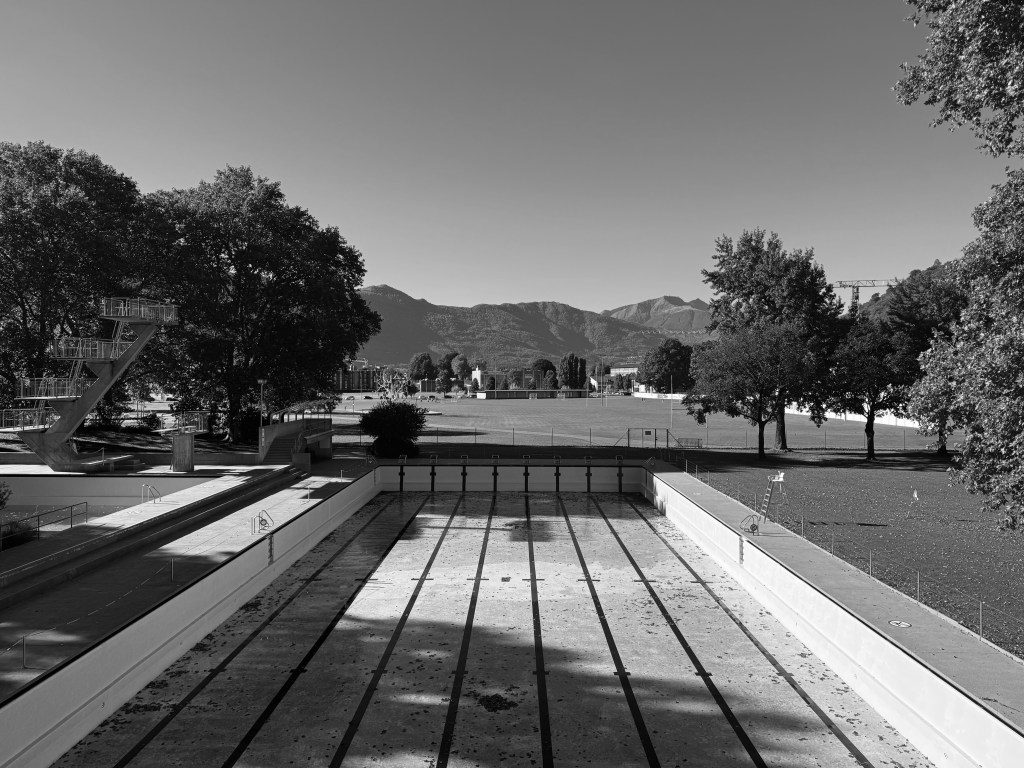
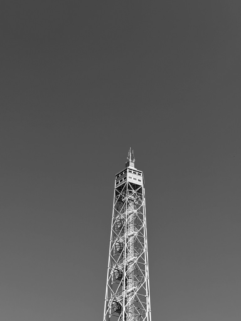
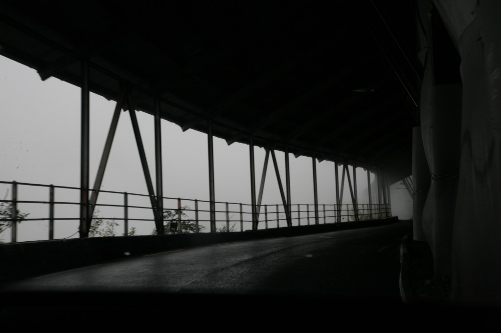
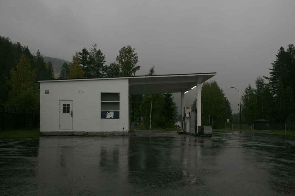
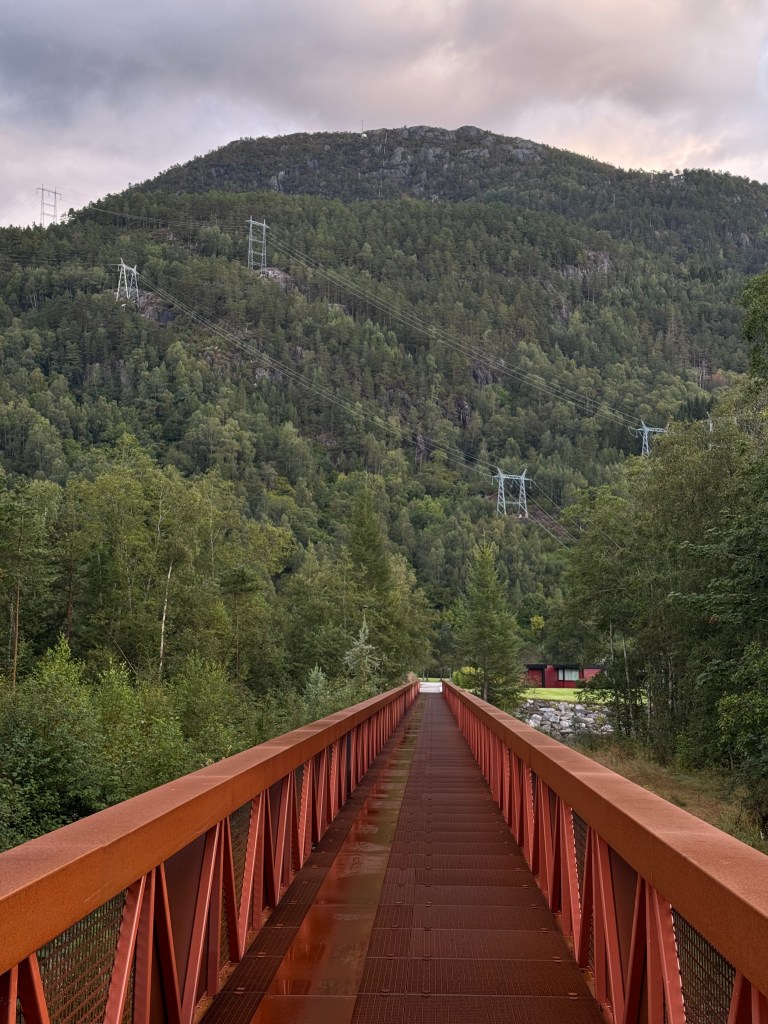
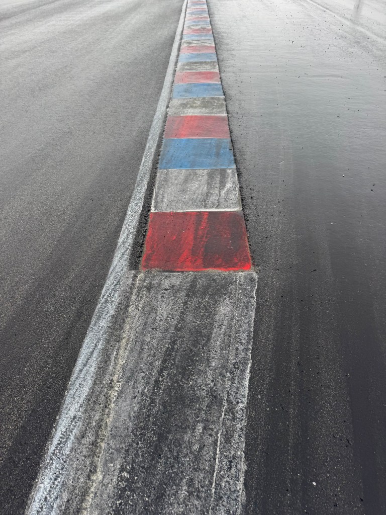
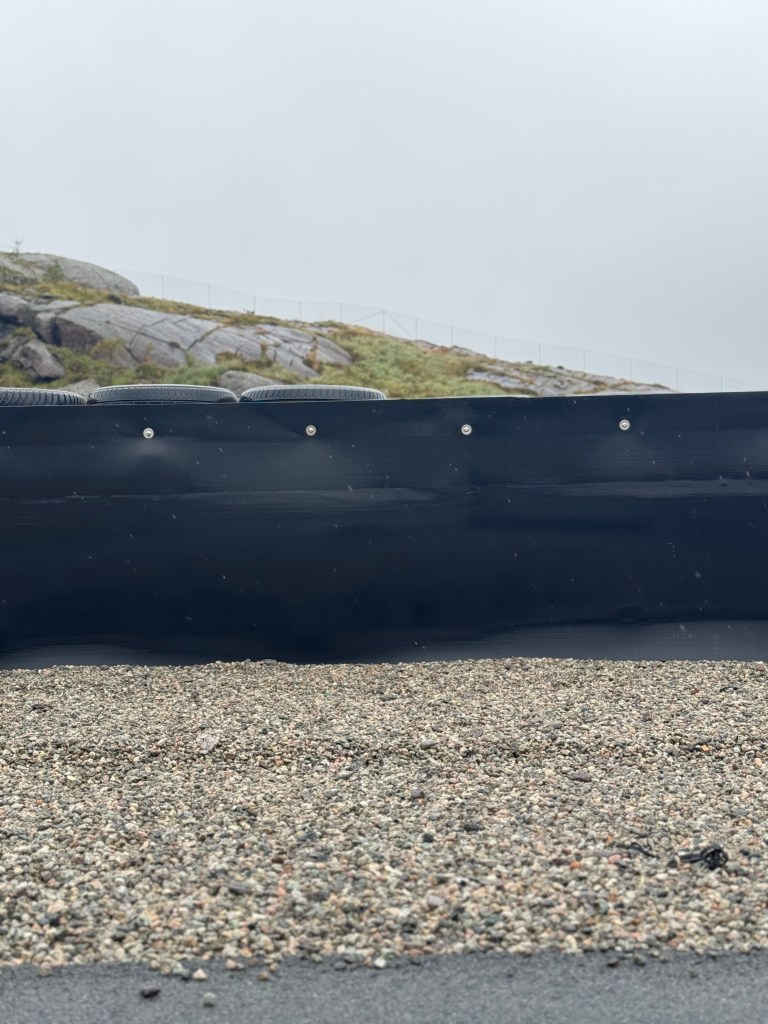
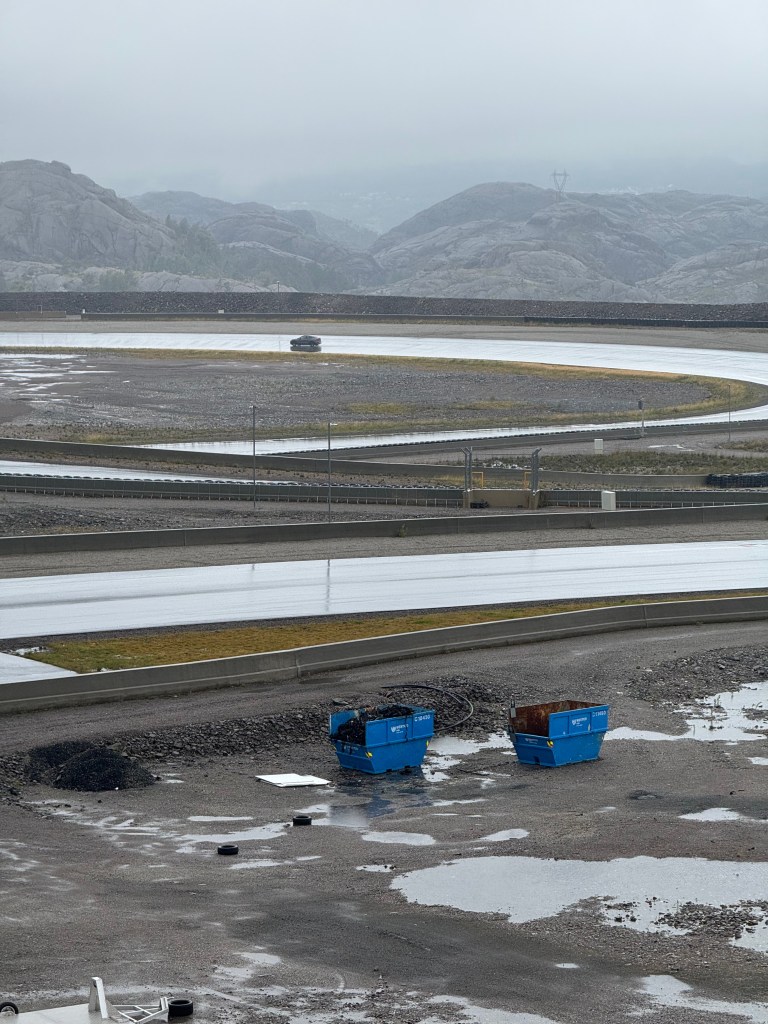
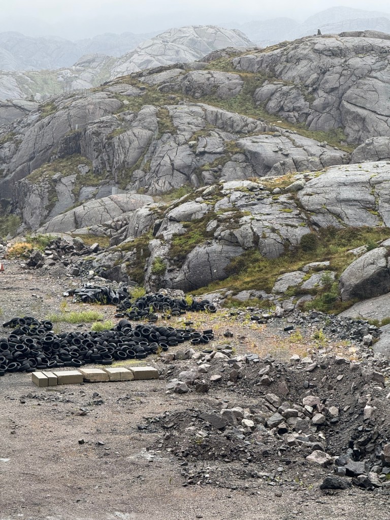
Study trip – West Norway


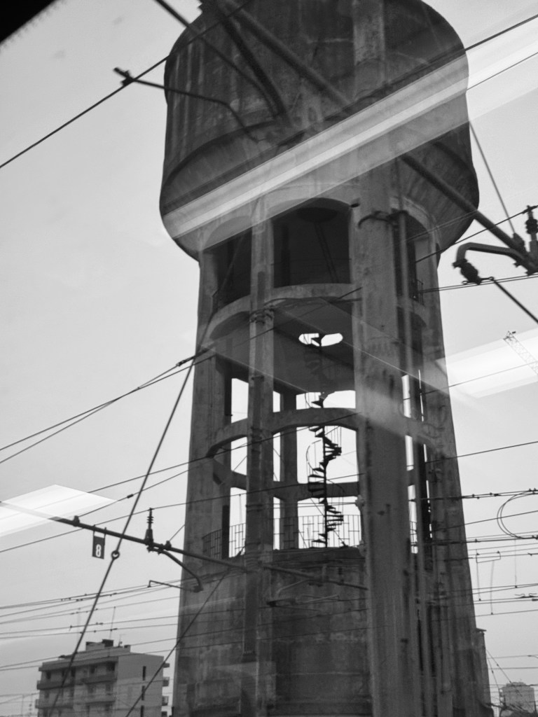
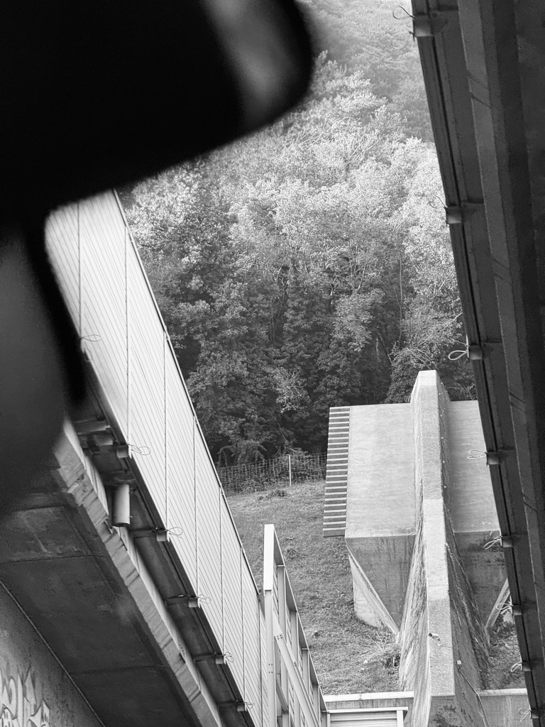
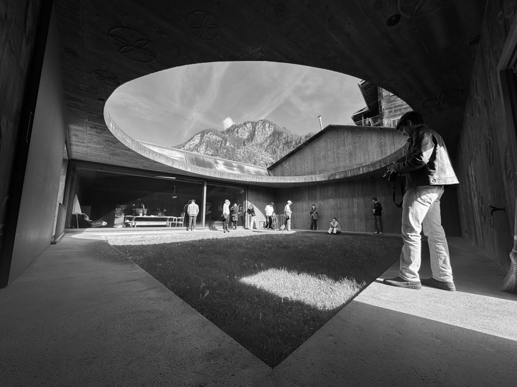
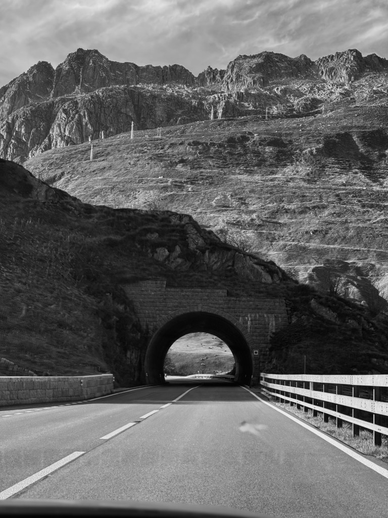
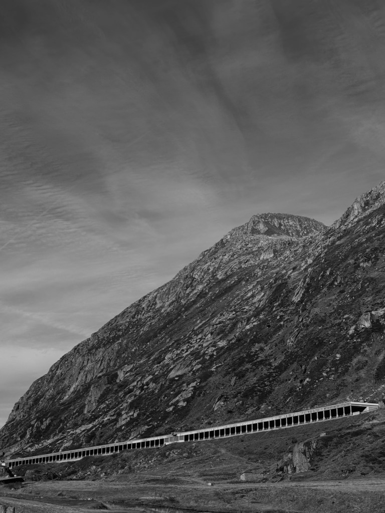
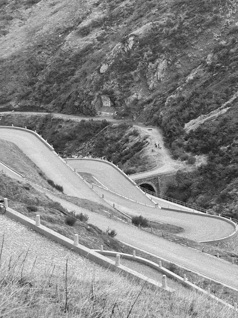
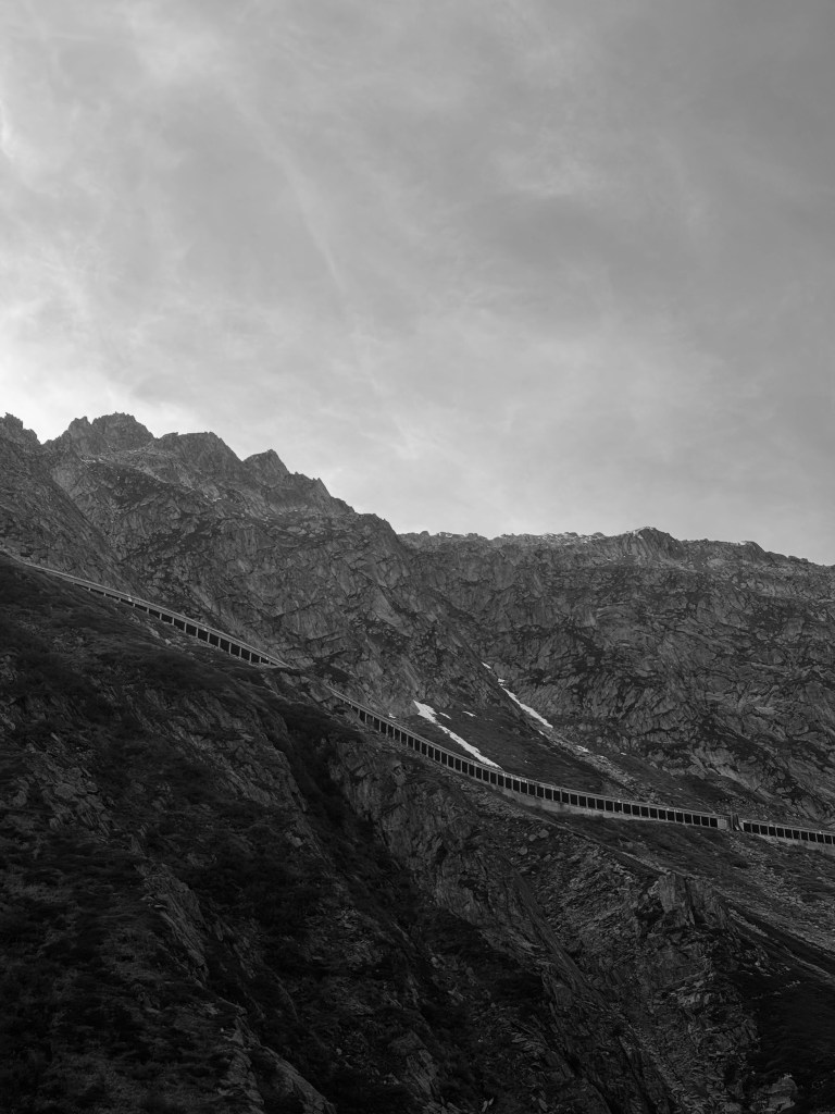
Study trip – Italy & Switzerland